
Racing Lines: Monaco — real-terrain phone stand
Print Profile(1)
Description
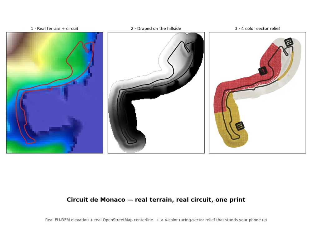
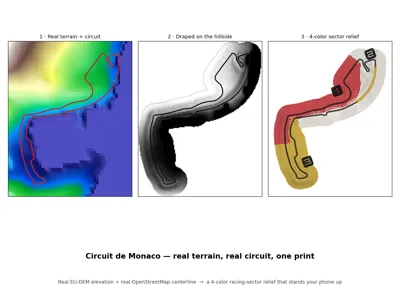
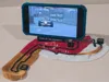
This is a real map, not a stylized outline. Every contour comes from the actual Côte
d'Azur terrain (EU-DEM 25 m elevation), and every corner from the real circuit
(OpenStreetMap GPS centerline, relation 148194). A small pipeline pulls the public
data, drapes the circuit onto the hillside, and splits the surface into the three
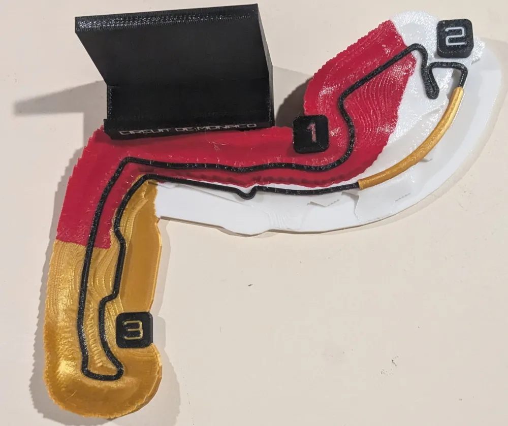
racing sectors. The four colors carry information rather than decoration: they show how
an F1 lap is actually timed.
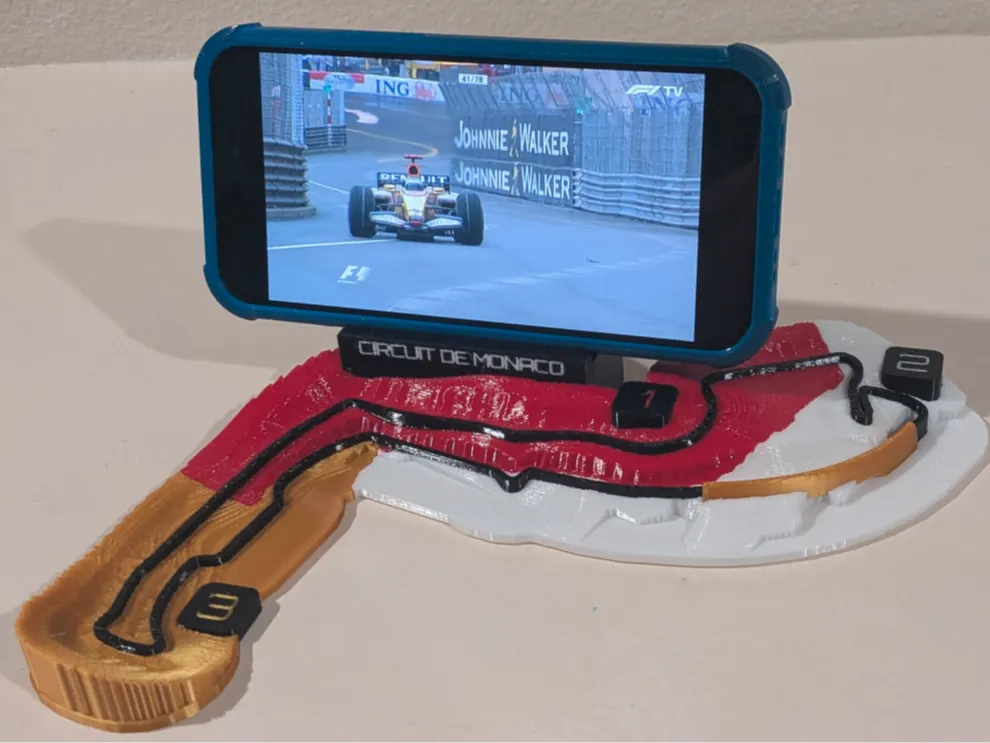
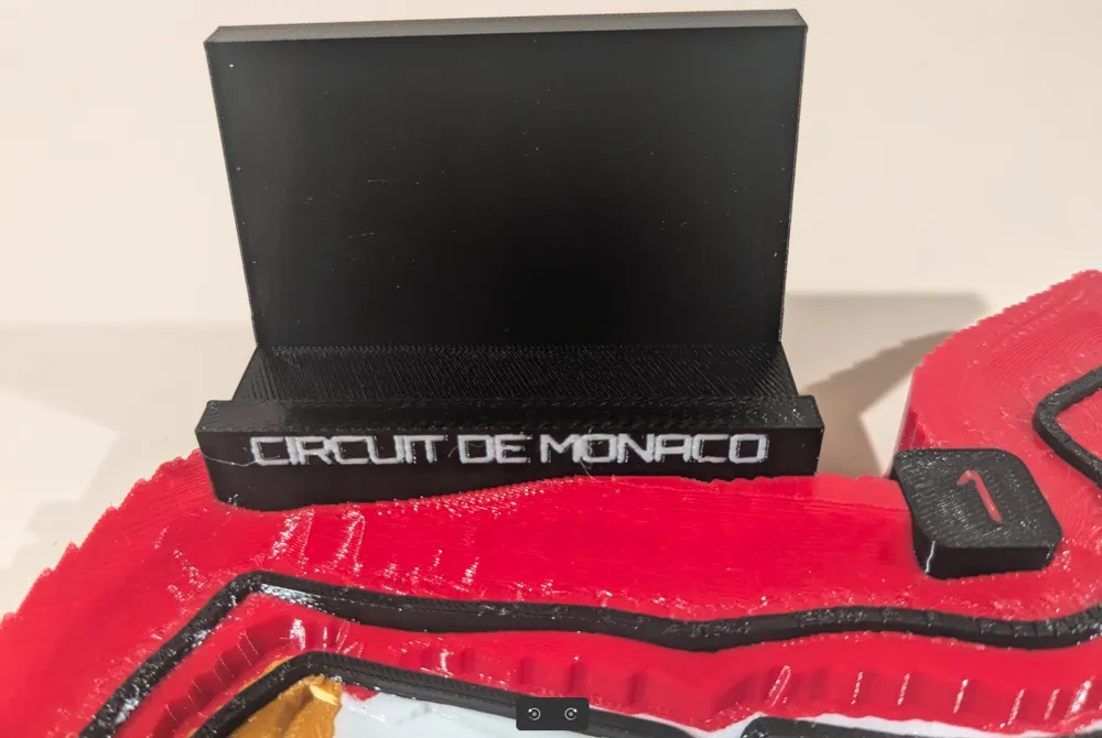
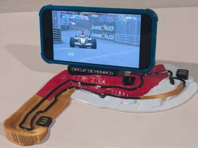
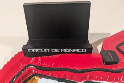
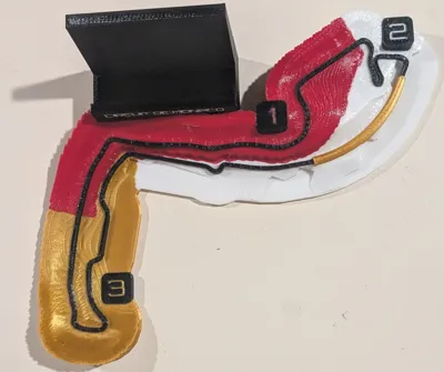
The nameplate on the back doubles as the phone stand. It holds the phone in landscape
at a comfortable viewing angle, so the piece labels itself and props up your screen
while you watch the Monaco Grand Prix.
## The four colors (the U1 brief)
| Color | Meaning |
| Red | Sector 1 (start/finish to Mirabeau) |
| White | Sector 2 (Mirabeau to swimming-pool entry) |
| Gold | Sector 3 (pool to finish) |
| Black | the circuit ribbon, raised proud of the surface |
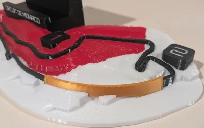
Raised number pucks mark 1, 2 and 3 in each zone.
## The signature detail: the tunnel
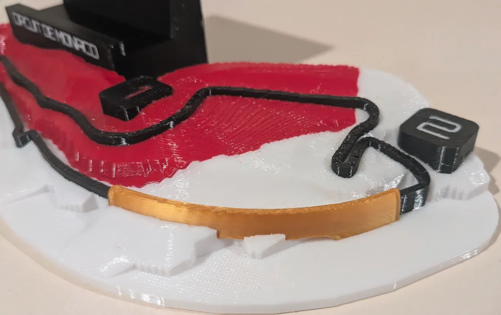
The DEM reads the Monte-Carlo headland as solid ground, so the road appears to dive
into it. I gap the black line at that point and bridge it with an abstract gold arch
along the Portier curve, standing in for the famous Monaco tunnel. It prints
support-free.
## Built to print clean
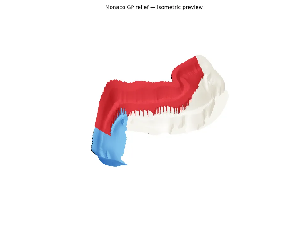
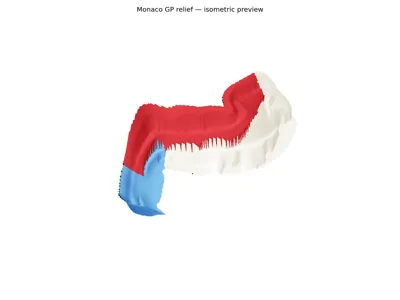
- Support-free by design. The relief is a heightfield, and every added face is vertical
or up-facing, so nothing overhangs.
- Watertight, manifold parts, millimetre-true, well within the U1's bed (about
176 x 220 mm footprint).
- Sectors, track, nameplate and markers are separate objects in shared coordinates.
Arrange them in Orca, assign one filament each, and print.
## Three uses from one design
1. Phone stand: the full piece with the nameplate backboard (shown).
2. No-phone display: the map with a small title card.
3. Wall hanger: the title card laid flat, with a drop-in keyhole-bar negative so it
mounts on two screws and sits level. Command strips also work.
## Credits & licenses
- Circuit centerline: © OpenStreetMap contributors (ODbL), relation 148194.
- Terrain: EU-DEM v1.1 (25 m), Copernicus Land Monitoring Service.
- Nameplate type: Orbitron (SIL Open Font License).
- Design and generating code: original work.
License



Comment & Rating (0)