
MGRS Protractor
Print Profile(1)

Description
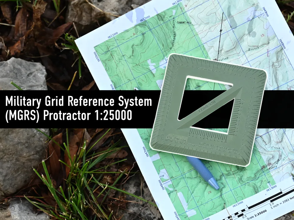
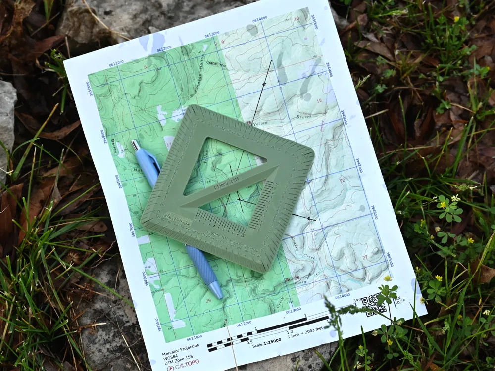
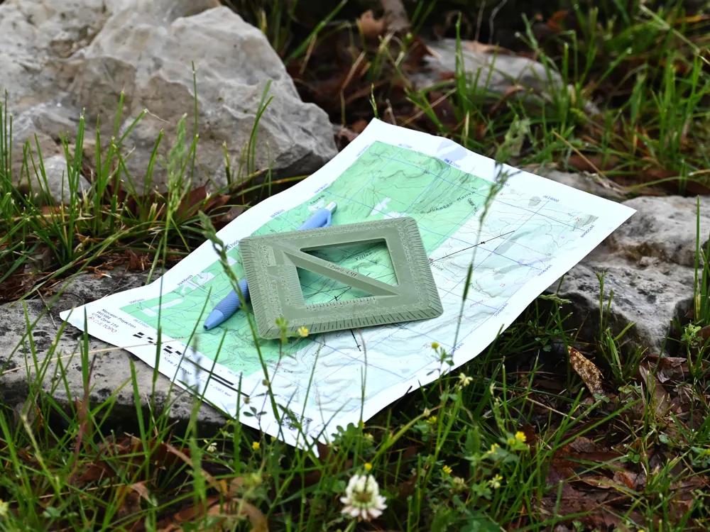
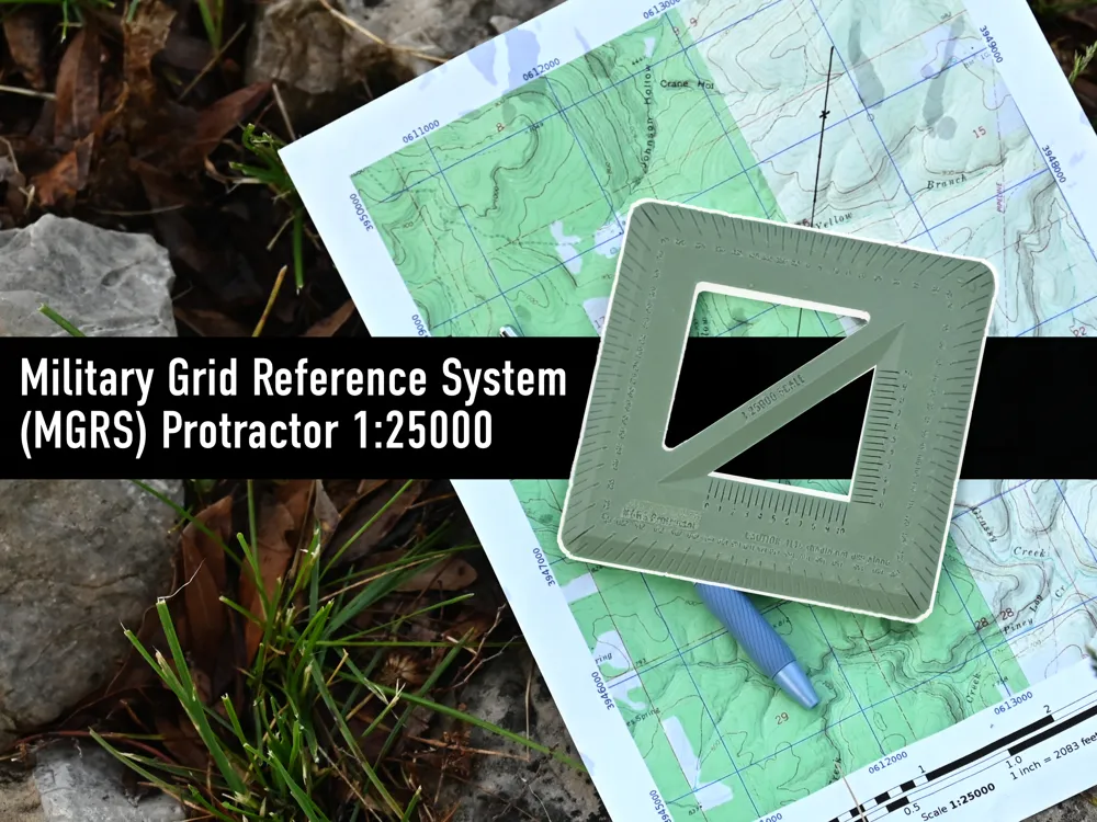
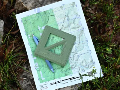
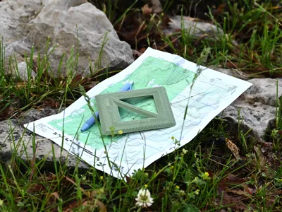
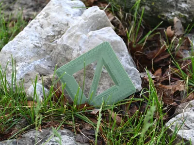
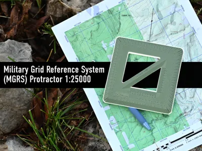
This is a 1:25000 Navigation Protractor, similar what's used for land navigation in the US Military. This is made to work with UTM overlays on 1:25000 scale maps, which can be easily generated with Cal Topo. Used in conjunction with a compass, this is what one would use to plot a course at the infantry level. Can also be used on a 1:50000 scale map, you'll just use half of the scale instead of the full.
Land navigation is a lost art, but your local infantry guy will know what this is, and it's something our children should know too. Check out some youtube videos on the subject and take a dive into Land Navigation. One my favorite things I did while in the service.
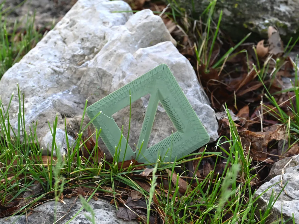
Print using 0.2mm nozzle because of the fine details. Use PETG if you expect it to be in sunlight a lot. Which, you know, you should.
License

You shall not share, sub-license, sell, rent, host, transfer, or distribute in any way the digital or 3D printed versions of this object, nor any other derivative work of this object in its digital or physical format (including - but not limited to - remixes of this object, and hosting on other digital platforms). The objects may not be used without permission in any way whatsoever in which you charge money, or collect fees.


Comment & Rating (3)