Topographic Map of Lebanon


Print Profile(3)


Description
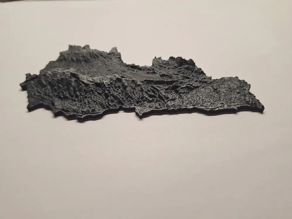
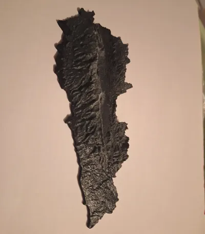
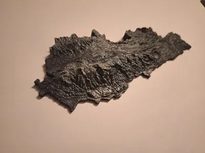
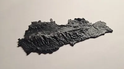
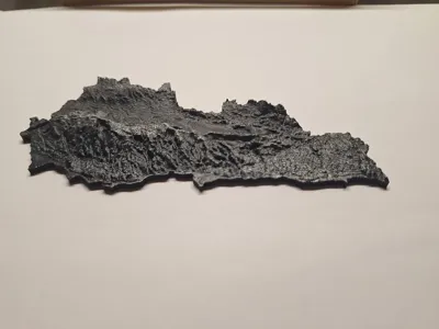
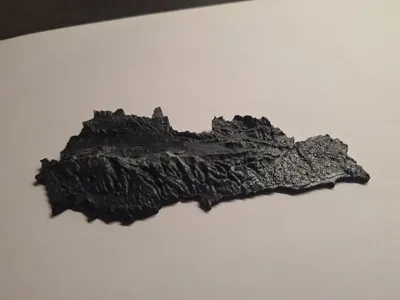
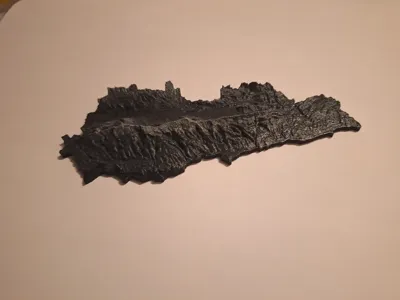
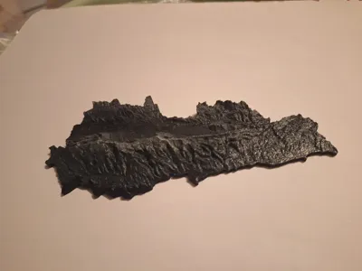
Explore Lebanon's stunning geography in 3D with this topographic map! This printable model features exaggerated elevation (x5) to highlight the dramatic terrain of Lebanon’s mountains and valleys, making it a perfect display piece or educational tool.
Features:
- Height Exaggeration: Elevations are scaled 5x for better visibility and dramatic effect, emphasizing Lebanon's iconic mountain ranges and coastal topography.
- Scale: 1:692,059 meaning 1 millimeter on the printed map represents 692,059 millimeters (or about 692 meters) in the real world.
- Detailed Design: Captures the intricate details of Lebanon's terrain with precision.
- Compact Size: Designed for easy printing and display on desks, shelves, or classrooms.
- Versatile Use: Ideal as a geography aid, conversation piece, or for 3D terrain modeling practice.
File Details:
- No supports needed for printing.
- Recommended layer height: 0.1–0.2mm for best detail reproduction.
Printing Tips:
- Adjust infill density based on the desired durability; 15–20% is generally sufficient for display purposes.
Celebrate Lebanon's natural beauty with this 3D topographic model! Perfect for geography enthusiasts, educators, or anyone who loves unique 3D prints. 🌍✨
License
You shall not share, sub-license, sell, rent, host, transfer, or distribute in any way the digital or 3D printed versions of this object, nor any other derivative work of this object in its digital or physical format (including - but not limited to - remixes of this object, and hosting on other digital platforms). The objects may not be used without permission in any way whatsoever in which you charge money, or collect fees.
Comment & Rating (7)