Search models, users, collections, and posts

Print Profile(1)

0.12mm layer, 2 walls, 20% Lighting infill
Designer
6.5 h
1 plate
Open in Bambu Studio
Boost
57
130
4
6
129
54
Released
Description
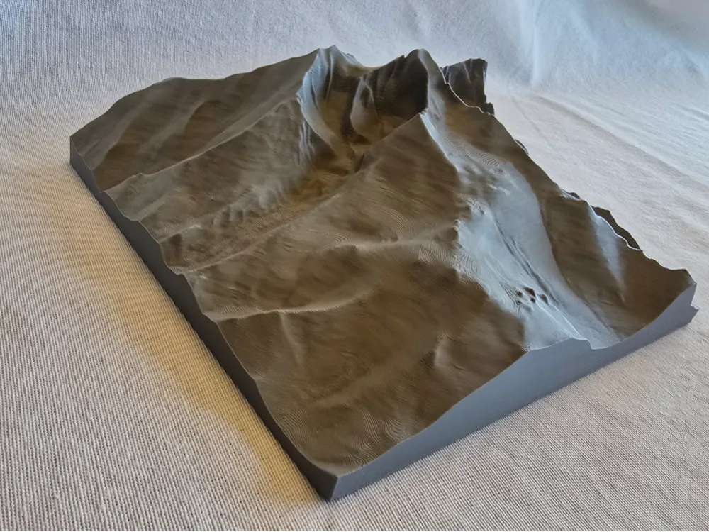
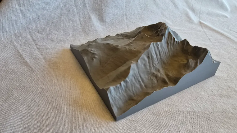
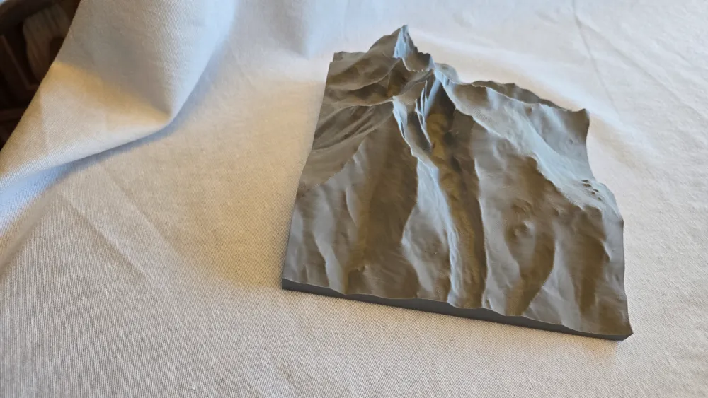
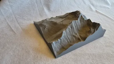
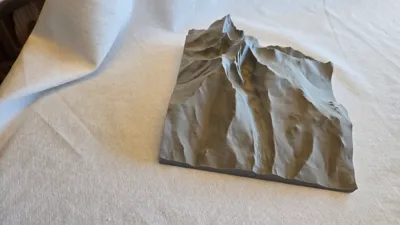
This is a 3d relief of Long's Peak in Rocky Mountain National Park near Estes Park in Colorado, USA. It includes Long's Peak, Mt. Meeker, Pagoda Mountain, Mt Lady Washington, Storm Peak, part of Chief's Head Peak, Chasm Lake, and most of the most common hiking route up the peak. You can even see the “Keyhole” in the printed model. The elevation is exaggerated by 2x compared to the horizontal distances, but it still looks fairly realistic (you can scale to 50% in Z in Studio if you want realistic elevations).
I created this model using https://touchterrain.geol.iastate.edu/main with USGS/3DEP/10m data. As far as I can tell, the data and the model are public domain as there is no licensing information shown on the site.
License

This user content is licensed under a
Creative Commons Attribution-Noncommercial-Share Alike


Comment & Rating (4)