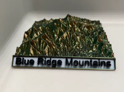
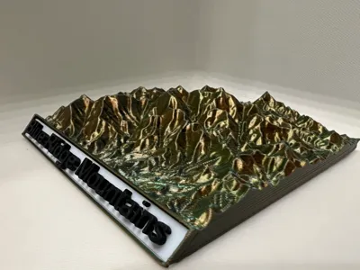
Blue Ridge Mountains Topography


Print Profile(1)

Description
Here is a topographic map of the Blue Ridge mountains. I designed it before the Hurricane and just felt like I should publish it. The heights are exaggerated just a bit to look cooler, but you can just scale its height down to .75 if you want it to be accurate. Feel free to request for other mountain ranges or areas for me to make topographical maps of.
License
You shall not share, sub-license, sell, rent, host, transfer, or distribute in any way the digital or 3D printed versions of this object, nor any other derivative work of this object in its digital or physical format (including - but not limited to - remixes of this object, and hosting on other digital platforms). The objects may not be used without permission in any way whatsoever in which you charge money, or collect fees.
Comment & Rating (1)