
Print Profile(1)
Description
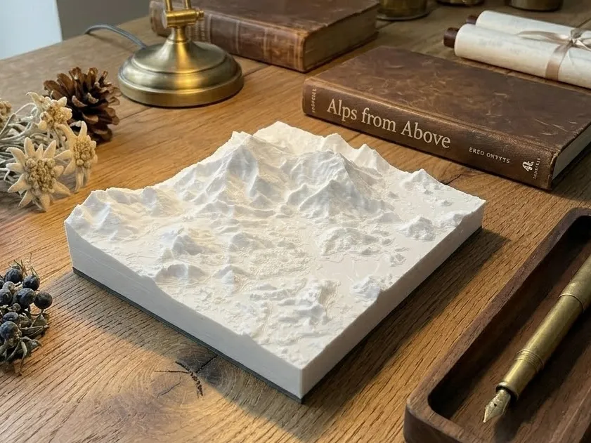
This is a Shenzhen Wutong Mountain 3D printed terrain model, which reconstructs the true mountainous topography, ridge contours, and valley directions of Wutong Mountain's main peak and surrounding areas using public DEM elevation data. The model is integrally formed using FDM technology, perfectly presenting the topographic texture of Shenzhen's highest peak, and can be used as a geographical science reference or a desktop ornament for urban outdoor enthusiasts.
License

You shall not share, sub-license, sell, rent, host, transfer, or distribute in any way the digital or 3D printed versions of this object, nor any other derivative work of this object in its digital or physical format (including - but not limited to - remixes of this object, and hosting on other digital platforms). The objects may not be used without permission in any way whatsoever in which you charge money, or collect fees.
Comment & Rating (0)