
Print Profile(2)
Description
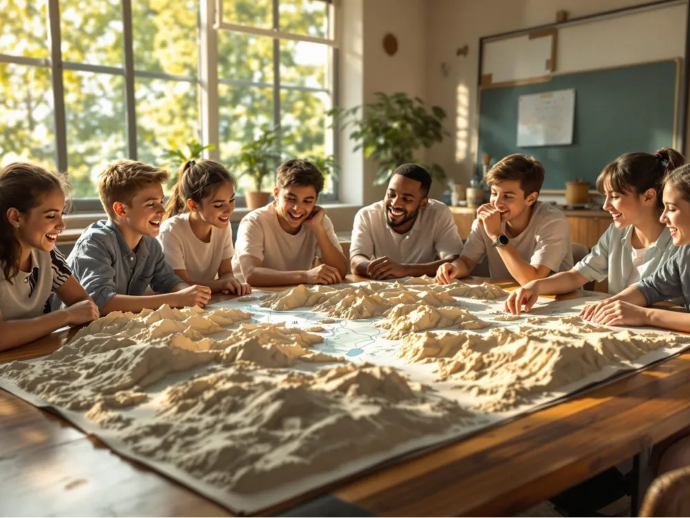
Global Sandbox Quickly Generated, Teaching Materials Flexibly Unlimited
Unlike traditional fixed sandboxes, without relying on prefabricated molds, based on a global geographic elevation database, it can generate urban or terrain models for any country, province, city, river basin, mountainous area, or other specified region according to teaching needs. Whether it's a country, region, canyon, or basin, digital modeling can be quickly completed, completely breaking the shortcomings of traditional teaching aids with fixed categories and single regions, and comprehensively matching various teaching contents such as regional geography, world geography, and thematic geomorphology in class.
Due to limited space, only two print profiles have been uploaded this time:
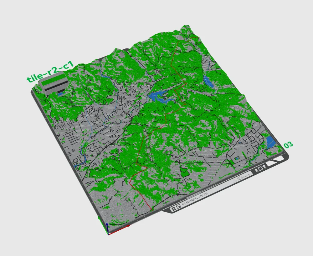
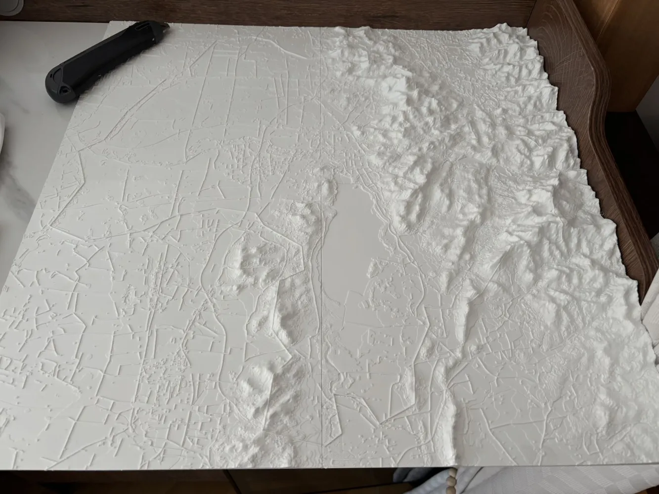
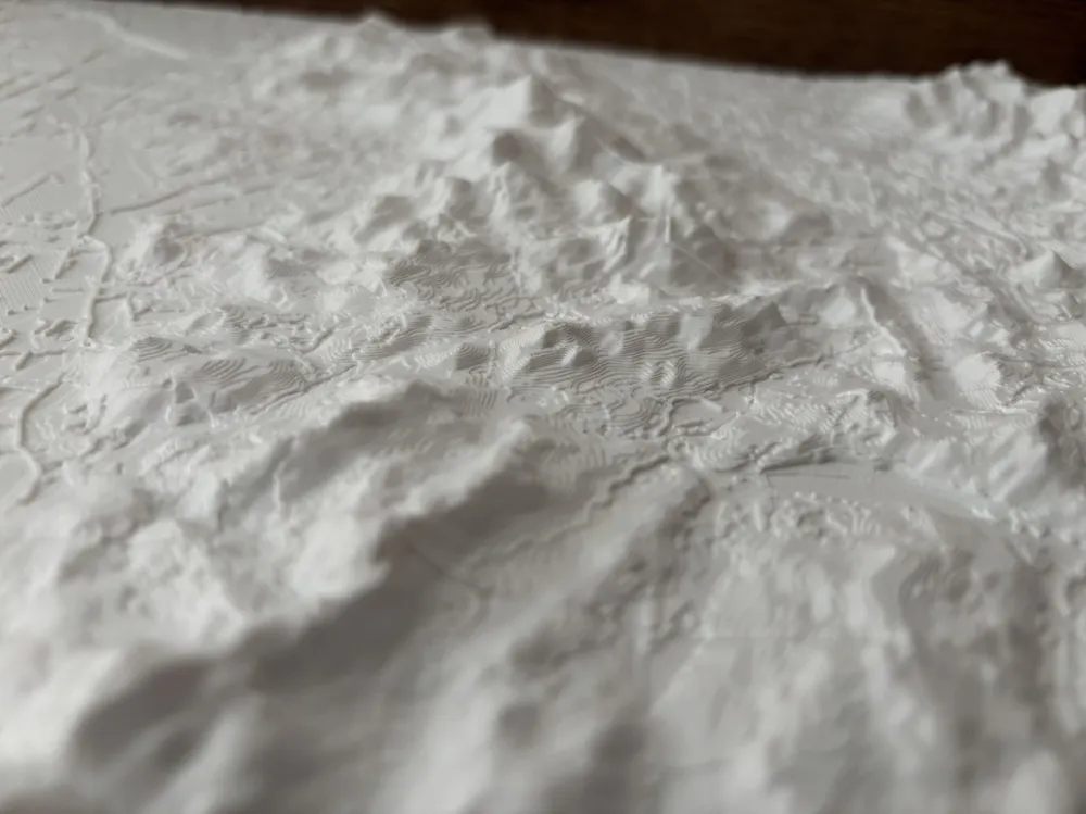
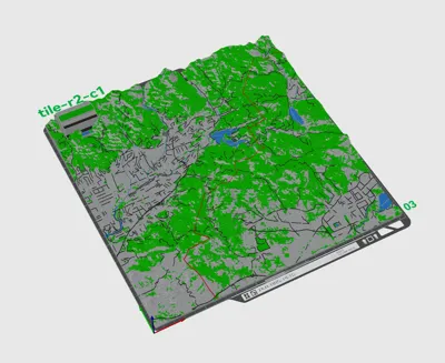
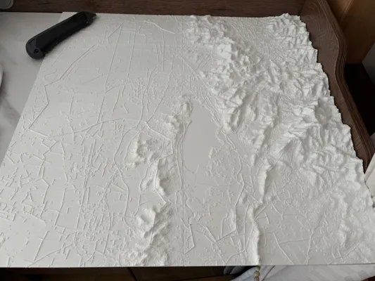
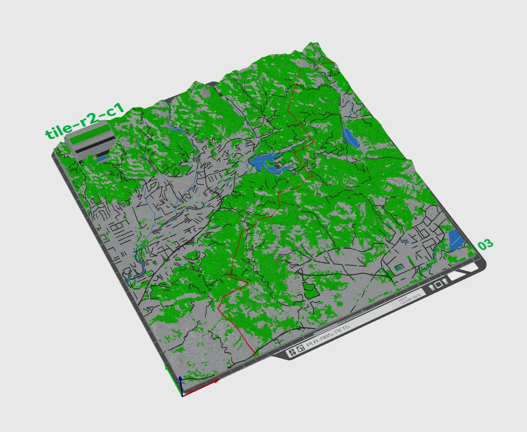
Model of a mountainous and plain junction area, 4 sheets of 25*25cm, the default print profile is single color, but plains, mountains, roads, and water systems have been separated and can be adjusted for multi-color printing as needed👇
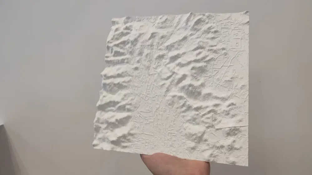
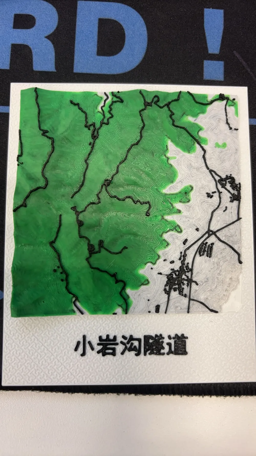
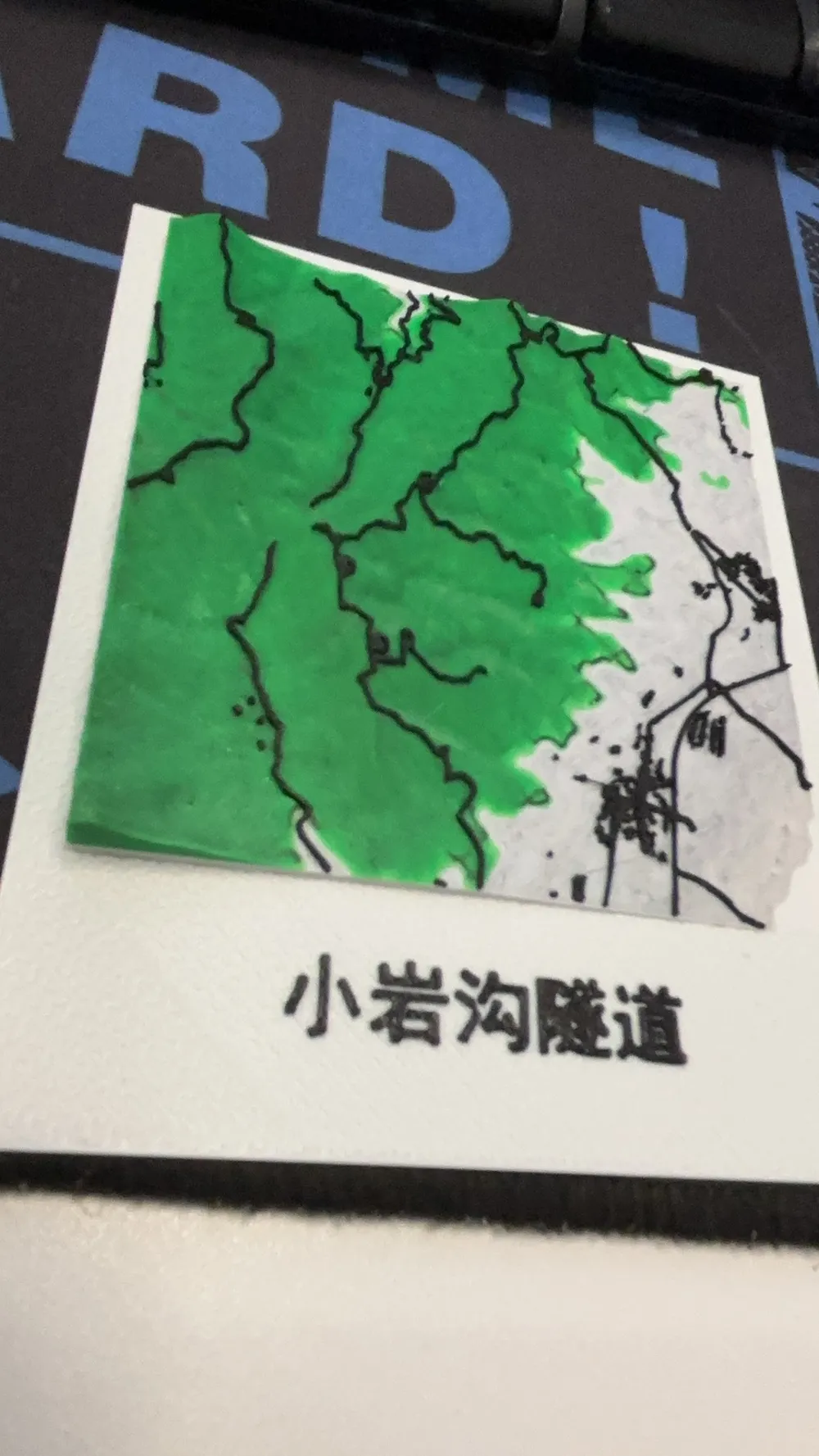
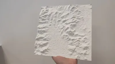
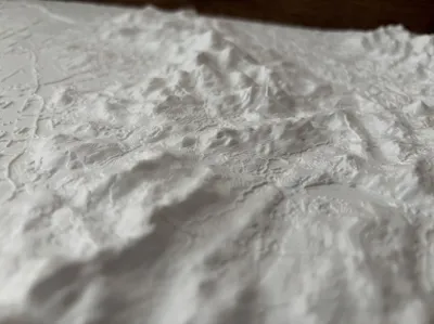
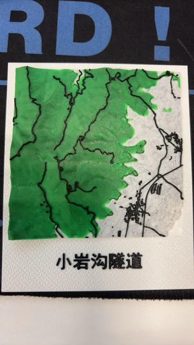
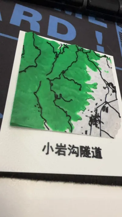
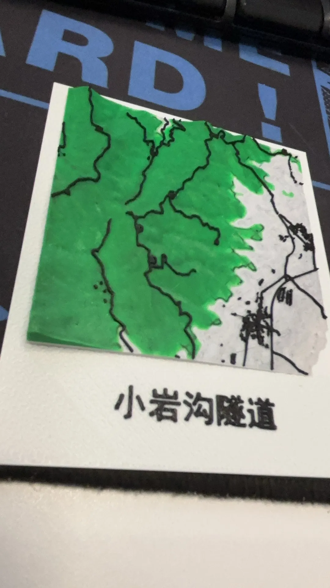
A local instant print color topographic map, 80*107mm👇
Methods for customizing other areas can be discussed, Brief description of production steps:
- Obtain Model: Automatically generate 3D terrain models on public GIS data platforms, adjust dimensions and vertical exaggeration ratio as needed;
- Export File: Process the model for printing adaptation, export as standard STL format file;
- Print and Form: Import into the client to complete production, can be colored and marked with information such as altitude, slope, aspect as needed, immediately put into teaching use.
Boost Me (for free)
Empowering the Professional Implementation of Geography Classrooms
1. Demystifying Abstract Topographic Concepts and Building a Spatial Cognition System
In traditional teaching, core topographic elements such as contour lines, slope, aspect, ridgelines, valley lines, saddles, and cliffs are explained only through planar maps and 2D diagrams, which students can easily confuse. 3D printed terrain teaching aids transform these abstract concepts into tangible entities:
- By sliding fingertips along the slope, one can intuitively perceive the steepness of the slope (the ratio of the vertical height to the horizontal distance of the slope), and understand the essence of “the denser the contour lines, the steeper the slope”;
- Following the extension direction of the slope, clearly determine the aspect, and distinguish the topographic differences between sunny and shady slopes;
- The undulating physical form intuitively distinguishes ridgelines, valley lines, watersheds, and collection lines, helping students build a complete topographic spatial logic.
2. Accurately Restoring Terrain Parameters and Visualizing Teaching Data
Based on GIS elevation data, the vertical exaggeration factor can be adjusted as needed, accurately reproducing key terrain parameters such as elevation difference, slope, and aspect:
- Adjust model precision according to academic stage; junior high school focuses on macroscopic landforms, while high school retains micro-topographic details such as gullies and terraces;
- Model undulations correspond one-to-one with actual altitudes, complemented by contour maps for two-way comparison between plane and physical entities, deepening the understanding of knowledge points such as altitude, relative height, and contour interval.
3. Adapting to Multi-Sensory Teaching Methods and Creating Inquiry-Based Classroom Scenarios
The teaching aids are adapted to mainstream geographical teaching methods such as observation, experimentation, and comparison:
- Tactile Perception Method, relies on tactile perception to identify different slopes and aspects, suitable for students with weak spatial imagination;
- Experimental Inquiry Method, simulates precipitation and runoff processes, observes phenomena such as valley confluence and gentle slope accumulation, and interprets the impact of terrain on hydrology;
- Comparative Teaching Method, juxtaposes and displays models of different slopes and aspects, combined with meteorological data, to analyze the role of terrain on local climate.
4. Flexible Customization of Teaching Scenarios to Meet Differentiated Teaching Needs
Leveraging the characteristics of 3D printing, such as no mold opening and rapid revision, to flexibly match diverse teaching scenarios:
- Customize local terrain teaching aids and conduct regional geography teaching based on local slope and aspect characteristics;
- Switch between models of different scales, covering teaching content from macroscopic regions to microscopic small watersheds, to meet differentiated teaching requirements.
The Irreplaceable Educational Value of Traditional Terrain Teaching Aids
1. Achieving Three-Dimensional Interactive Teaching of "Contour Lines - Terrain - Slope and Aspect"
Traditional sandboxes are fixed finished products, making it difficult to precisely match them with textbook contour maps. This teaching aid, on the other hand, is directly generated from geographical data, opening up the entire chain from "map data - digital model - physical teaching aid." Students can mark aspects and delineate slope zones on drawings, and then verify them against physical models, understanding the correlation between contour line density and slope, integrating geographical principles with mathematical logic.
2. Lightweight and Portable, Breaking the Boundaries of Classroom Use
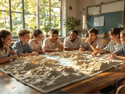
Unlike traditional sandboxes that are bulky and fixed in position, this terrain relief teaching aid is compact and individual, and can be distributed to each student or group, enabling hands-on inquiry-based learning. It is not restricted by venue and can be used in classrooms, laboratories, and outdoor studies. It can also serve as a tool for after-school exploration, while avoiding the problems of difficult maintenance and susceptibility to damage associated with large sandboxes. Combined with AR technology, it can also overlay dynamic annotations for slope, aspect, and contour lines, achieving a blend of virtual and real teaching.
3. Supports Dynamic Comparative Teaching and Analyzes Geographical Evolution Processes
Leveraging the advantage of rapid replication, terrain models of different periods and working conditions can be mass-produced:
- Comparing models of different stages intuitively presents the modification effects of erosion and deposition on slope and aspect;
- Conduct comparative experiments on soil and water loss using differentiated slope models to verify the correlation between terrain and ecological environment;
- Explain the causes of geological disasters such as landslides and debris flows using steep slope models, and implement knowledge points related to topographic elements.
License

You shall not share, sub-license, sell, rent, host, transfer, or distribute in any way the digital or 3D printed versions of this object, nor any other derivative work of this object in its digital or physical format (including - but not limited to - remixes of this object, and hosting on other digital platforms). The objects may not be used without permission in any way whatsoever in which you charge money, or collect fees.


Comment & Rating (0)