Everest Base Camp Trek | Stratamap


Print Profile(0)
Description

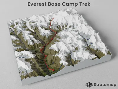
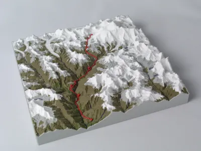
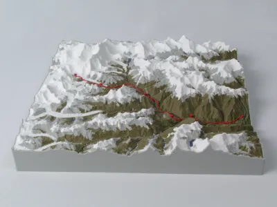
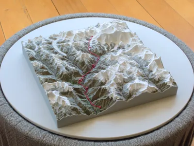
Everest Base Camp Trek - 3D Topographic Map
A 3D topographic terrain model of the Everest Base Camp Trek region in Nepal, generated with Stratamap. The trekking route is highlighted in red across the terrain, with huts and camps marked with square markers and start/finish points marked with circle markers. Different map features are grouped by color, each exported as a separate STL file. White for snow, grey for barren terrain and rock, olive green for vegetated areas, brown-green for low density vegetation and blue for water features and river systems.
No supports required.
Files
Files are optimized for layer height and size. Download either the 0.3mm or 0.2mm layer height files (200mm x 200mm x 49mm square), or edit the design using the share link below.
- 0.3mm layer height - designed for 0.6mm nozzle
- 0.2mm layer height - designed for 0.4mm nozzle
Each version contains 8 STL files corresponding to the color layers.
Edit this design
View and modify the original design on Stratamap. Adjust the region, colors, trails, dimensions or terrain detail to suit your preferences.
stratamap.io/share/5yIt-jez9JwI

Get started
Start your first project at: stratamap.io
First map is free!
License
You shall not share, sub-license, sell, rent, host, transfer, or distribute in any way the digital or 3D printed versions of this object, nor any other derivative work of this object in its digital or physical format (including - but not limited to - remixes of this object, and hosting on other digital platforms). The objects may not be used without permission in any way whatsoever in which you charge money, or collect fees.
Comment & Rating (0)