Search models, users, collections, and posts
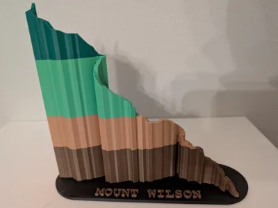
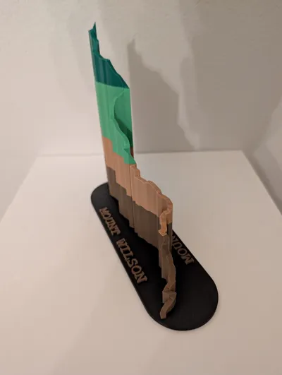
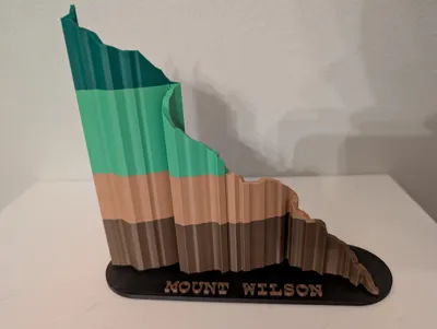
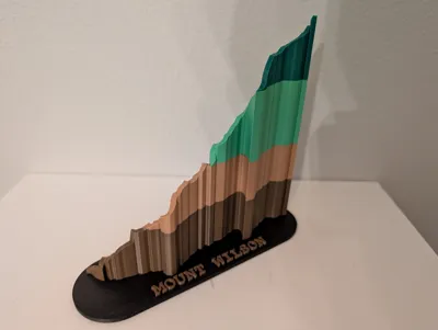
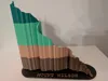
Mt Wilson Trail, San Gabriel Mountains, California


Print Profile(1)
0.2mm layer, 4 walls, 5% infill
Designer
3.1 h
1 plate
Open in Bambu Studio
Boost
0
1
0
0
0
0
Released
License
This user content is licensed under a
Creative Commons Attribution-Noncommercial
Comment & Rating (0)