
Print Profile(2)
Description
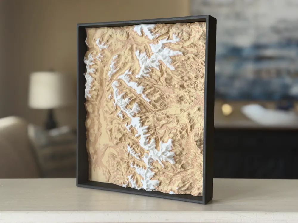
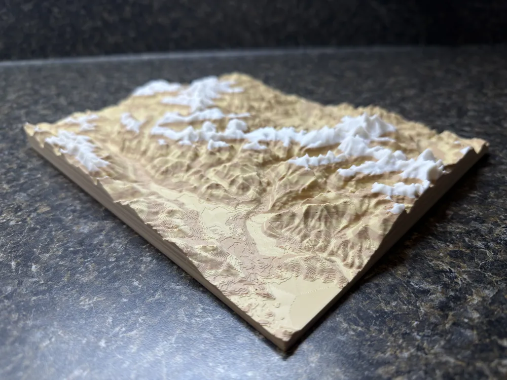
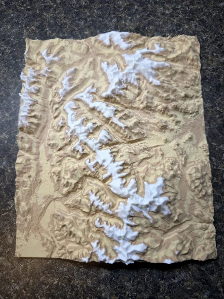
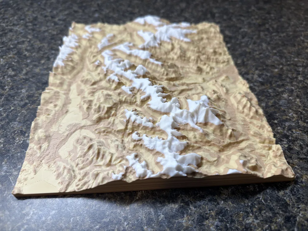
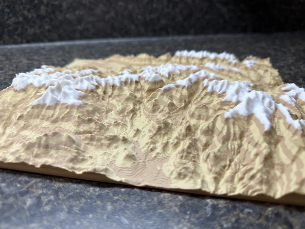
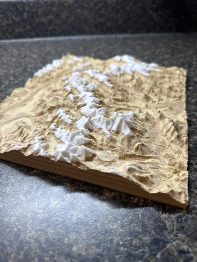
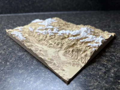
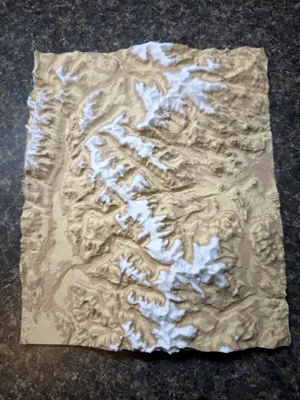
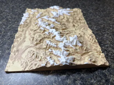
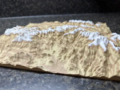
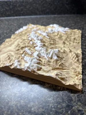
This topography map of Rocky Mountain National Park was created using TouchTerrain and then modified to print well. It contains the entire park and the elevation is exaggerated by 2.5 times in order for the greatest visual detail and separation.
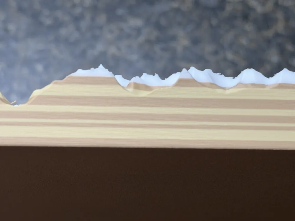
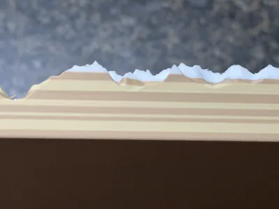
To make the topography truly pop, I painted the model by layer height. This technique creates a striking sedimentary appearance that effectively emphasizes the landscape's relief, even if it does not strictly mirror the area's geological formation.
This method also ensures efficient filament switches. If you do not have an AMS, you can achieve the same effect through manual layer changes. I strategically painted the white layer to represent the alpine tundra; since the tree line in the park sits between 11,000 and 11,500 feet, I chose the most visually pleasing transition which came to be around 11,300 feet in elevation.
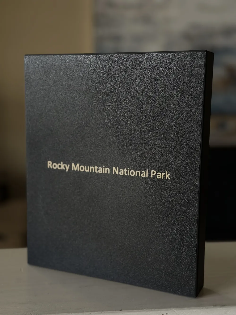
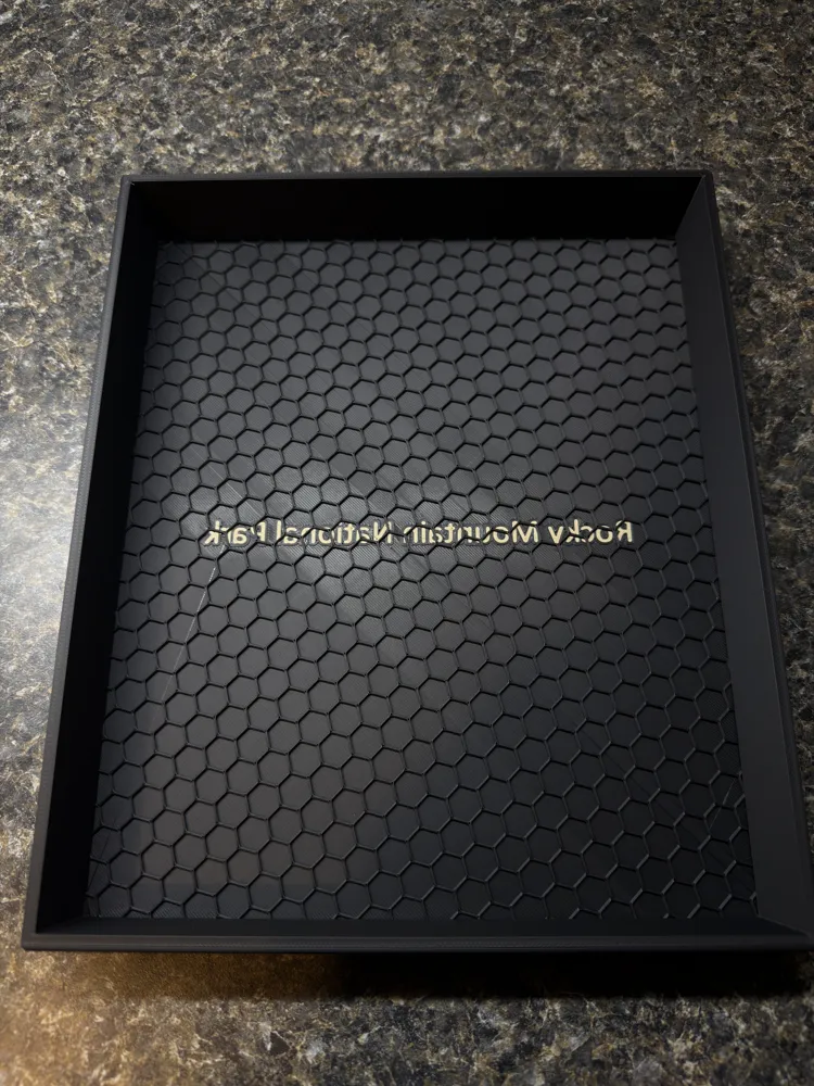
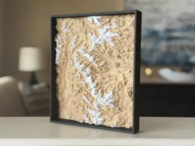
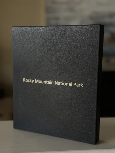
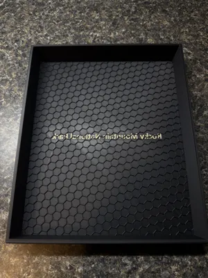
I have included an optional map frame with the national park name on the back of the model. The location name is oriented so that the top of the frame aligns with the map's north orientation. To save filament, the frame's interior floor does not include a top layer; you can then secure the map in place using glue or another adhesive.
Every element was designed to be filament-efficient, so please be cautious when handling the printed map. It is intended as a display item rather than a utility print, meaning it does not have thick walls or heavy infill.
License

You shall not share, sub-license, sell, rent, host, transfer, or distribute in any way the digital or 3D printed versions of this object, nor any other derivative work of this object in its digital or physical format (including - but not limited to - remixes of this object, and hosting on other digital platforms). The objects may not be used without permission in any way whatsoever in which you charge money, or collect fees.


Comment & Rating (6)