


Print Profile(3)

Description
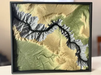
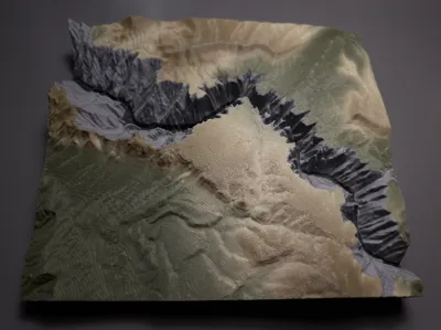
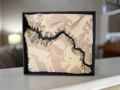
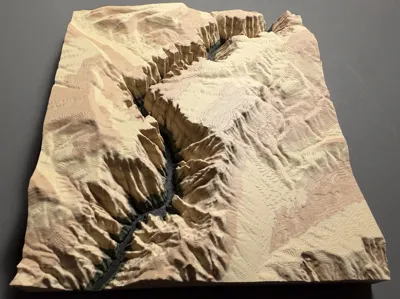
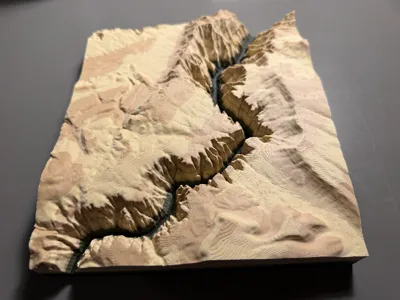
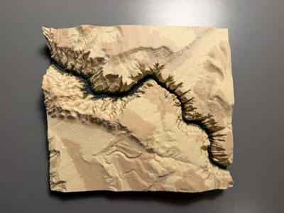
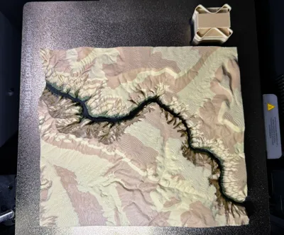
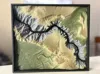
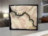
This topography map of Black Canyon of the Gunnison National Park was created using TouchTerrain and then modified to print well. While it does not cover the entire park, I chose a specific extent that highlights the most popular destinations while allowing for high resolution and fine detail.
To make the topography truly pop, I have a version that is painted by layer height. This technique creates a striking sedimentary rock appearance, and while this style does not strictly mirror the geological formation of the canyon, it effectively emphasizes the relief of the landscape. This method also ensures that filament switches are efficient. If you do not have an AMS, you can perform manual layer changes to achieve the same effect.
I also have made a version painted so that the surrounding landscape and canyon walls contrast. This version will require more filament swaps but is more accurate to the landscape.
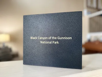
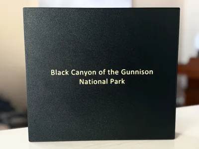
I have included an optional map frame and with the national park name on the back of the model.
Every element was designed to be filament-efficient, so please be cautious when handling the printed map. It is intended as a display item rather than a utility print, meaning it does not have thick walls or heavy infill.
License
You shall not share, sub-license, sell, rent, host, transfer, or distribute in any way the digital or 3D printed versions of this object, nor any other derivative work of this object in its digital or physical format (including - but not limited to - remixes of this object, and hosting on other digital platforms). The objects may not be used without permission in any way whatsoever in which you charge money, or collect fees.
Comment & Rating (0)