
World Map – Topography & Bathymetry
Print Profile(1)

Description
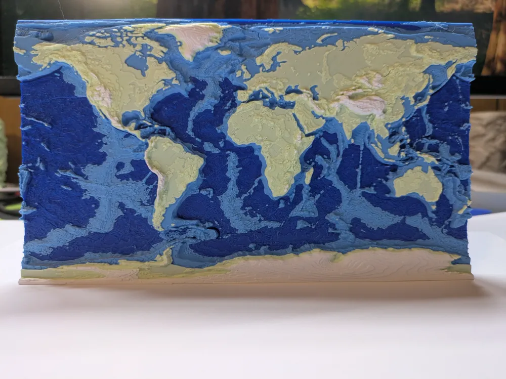
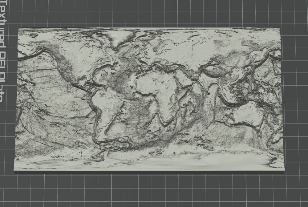
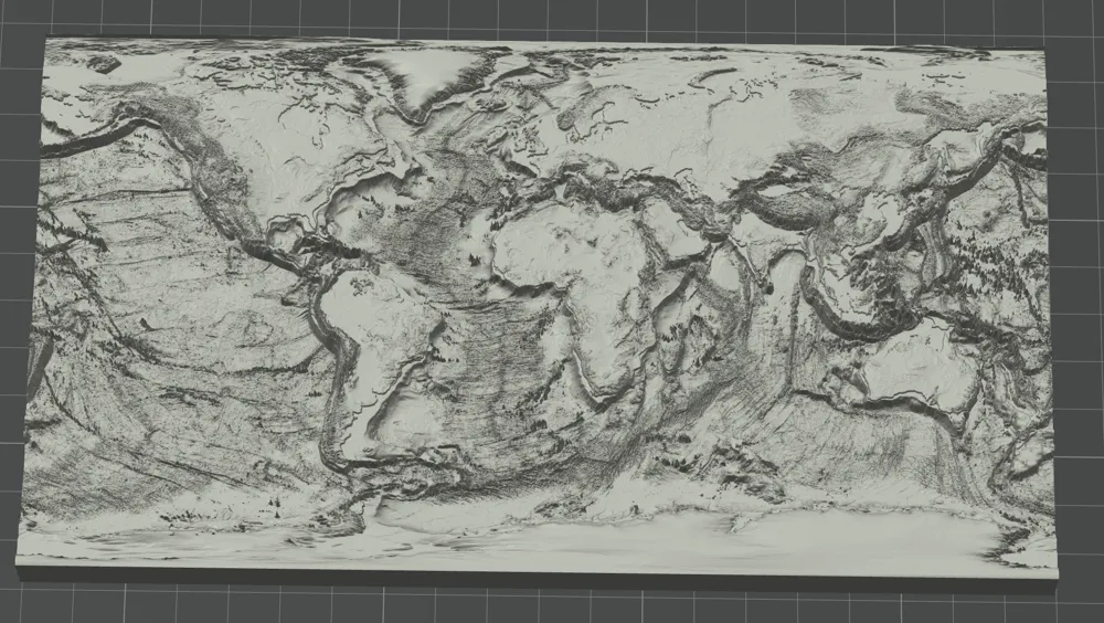
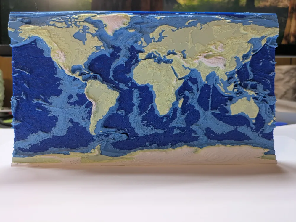
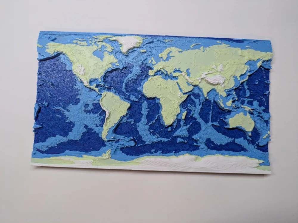
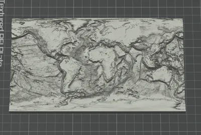
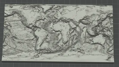
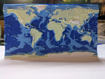
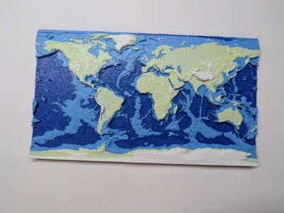
This is a super‑detailed 3D relief map of the entire Earth, showing both land topography and seafloor bathymetry. It’s perfect as:
- Wall art or a display piece for your office, classroom, or makerspace
- A tactile teaching aid for geography, geology and oceanography
- A “fidget map” for anyone who likes running their fingers over mountain ranges and ocean trenches
Data & Geometry
- Based on the official GEBCO global terrain / bathymetry grid (General Bathymetric Chart of the Oceans)
- Dataset link (GEBCO gridded bathymetry): https://www.gebco.net/data-products/gridded-bathymetry-data/
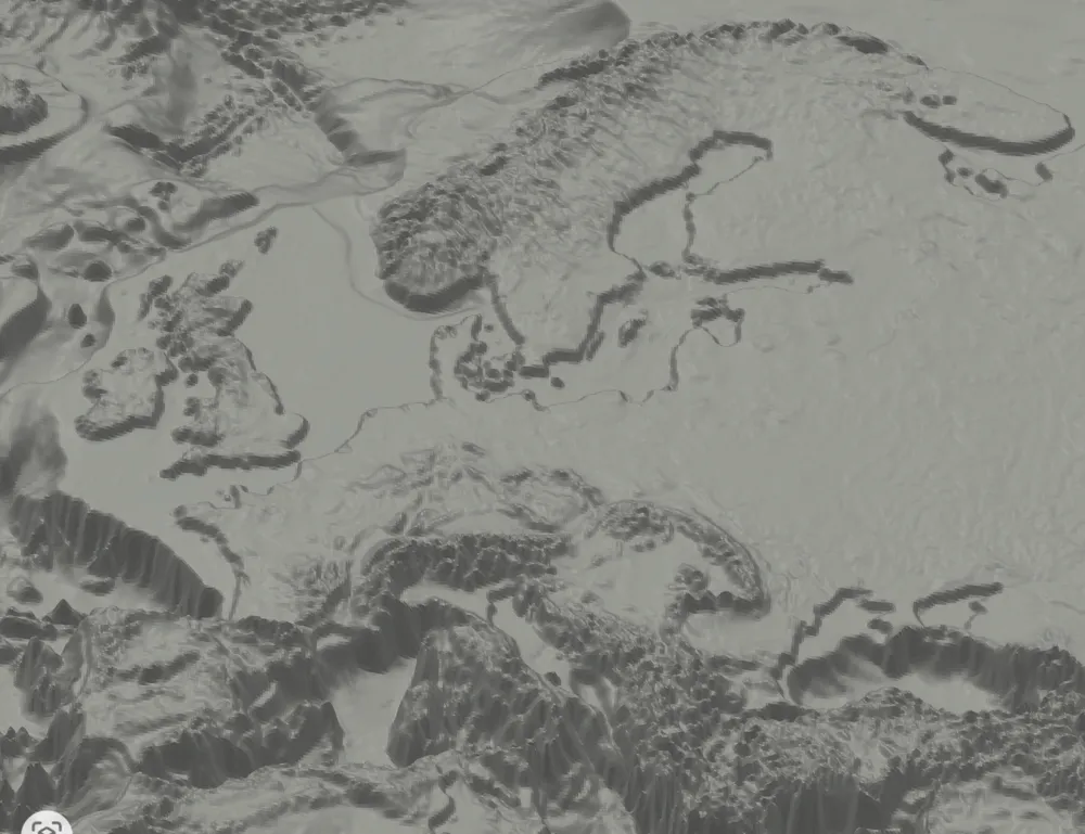
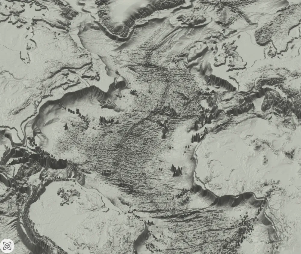
- Mesh resolution: ~9.3 million triangles – high enough that even very large prints look crisp, with smooth coastlines and well‑defined relief.
- Custom height tweaks:
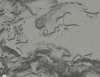
- Land areas that are below sea level (e.g. Caspian Sea region, some parts of Europe) are raised slightly so they don’t disappear “underwater” on the model.
- All land above sea level has small addition to their hight, so separation between ocean and land is sharper.
Map Projection
The model uses the Patterson cylindrical projection, a modern “compromise” world projection designed specifically for attractive, general‑purpose maps. Compared to classic cylindrical maps (like Mercator or Miller), Patterson:
- Keeps polar regions much less stretched and ridiculous
- Preserves the overall shapes of continents surprisingly well
- Fits the whole world into a compact, nice‑looking rectangle that’s great for posters and plaques
In short: it’s a very good balance between realism and aesthetics, espetially if you want a rectangular map.
Printing & Colors
The included .3mf uses AMS multi‑color changes, but you absolutely don’t need an AMS to print it:
- You can safely replace the color changes with print pauses and swap filament manually at the indicated heights.
- Printing with thinner layers gives better results, also 0.2 nozzle will give you more details.
- A typical color setup is:
- Dark / deep blue for the abyssal ocean
- Lighter blue / cyan for continental shelves
- Green / tan for land
- Light gray / white for high mountains / ice
The model also looks excellent in single color—the relief is strong enough that good lighting will bring out all the detail, so a simple PLA, silk, or metallic filament works great for classy wall art. You can also play with z axis.
Why it’s cool
- Real scientific data (GEBCO) turned into a tactile, high‑resolution 3D object
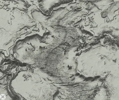
- Topography and bathymetry in one print: you see the continents and also mid‑ocean ridges, trenches, and plate boundaries
- Designed for big prints without blocky artifacts thanks to the dense mesh
- Flexible color workflow: works with AMS, manual filament swaps, or just one filament if you prefer a clean monochrome look
License



Comment & Rating (17)