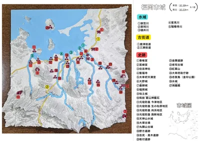
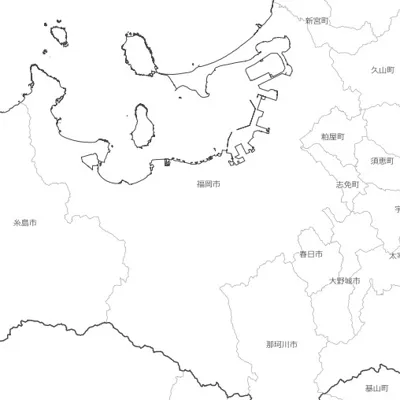
Fukuoka City (East-West 32.38km, North-South 32.23km) 9.1 times


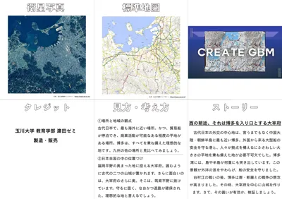

Print Profile(1)
Description
Boost Me (for free)
Since the data is provided open-source, there is no funding
To continue providing it as open-source, your support would be appreciated
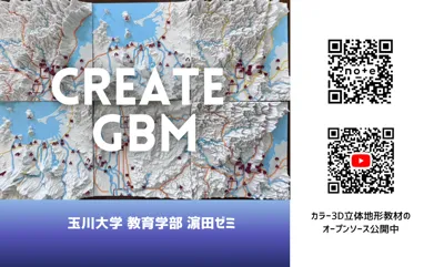
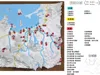
Japan's Prefectural Capital Series: No. 40 Fukuoka City, Fukuoka Prefecture #Create GBM
Fukuoka City (East-West 32.38km, North-South 32.23km) 9.1x magnification
Ver.1.0 (2025/11/14) Released
Ver.1.1 (2025/12/26) Reference images added
***************
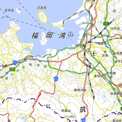
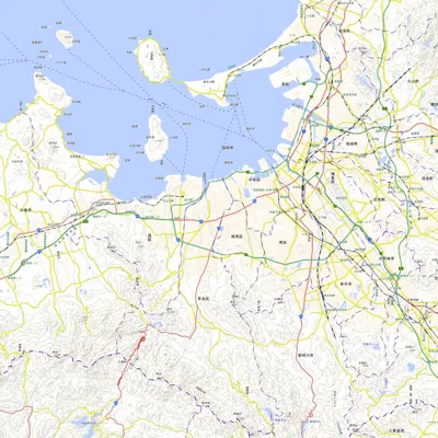
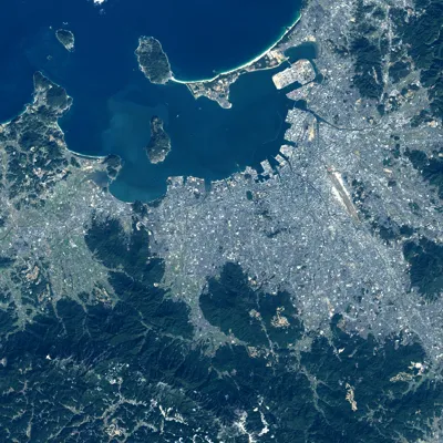
Utilizing image and 3D data from the Geospatial Information Authority of Japan, we created educational materials that cut out the urban area of Fukuoka City and examine the relationship between topography and people
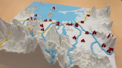
Topography: White
Water areas: Blue tones
Old roads: Yellow/Orange
Historic sites: Red
For modeling, Tinmorry's PLA Matte is highly recommended, but Bambu Lab's PLA Matte also produces beautiful models
However, if modeled with regular, non-matte PLA, the topography itself will reflect light slightly, reducing visibility
***************
We are releasing open-source color-printable 3D topographic models (GBM: Geographic Base Material) that are useful for problem-finding learning in geography and history
Please feel free to use them in classes and other settings
Also, if you would like to participate in creating GBM models as open-source, please post with the hashtag #Create GBM
Let's build up this movement together
☞ We will be sharing information about our production on our official note Create GBM (Hamada Seminar Official) | note
☞ We will be sharing information about our production on our official YouTube channel Create GBM - YouTube
Comment & Rating (0)