Search models, users, collections, and posts


Print Profile(1)

PLA 0.12mm layer, 2 walls, 15% infill
Designer
3.1 h
1 plate
Open in Bambu Studio
Boost
4
5
0
0
6
2
Released
Description
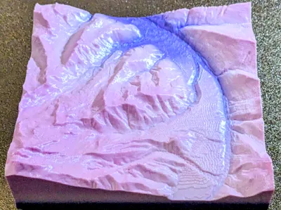
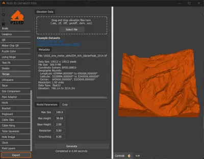
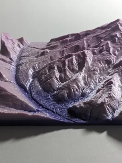
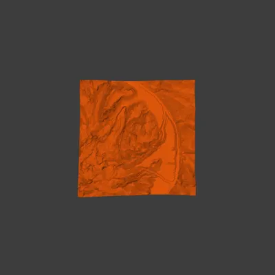
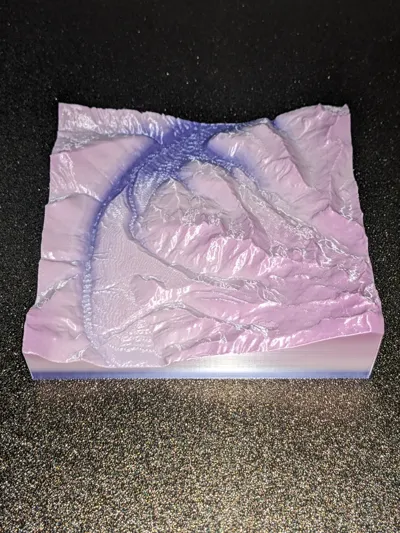
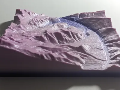
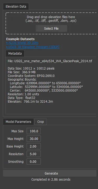
Elevation map created by processing a GEOTIFF to a STL using PILED.
Public Domain.
STL, GLTF, Screenshot, Render & 360 GIF/MP4 files generated with PILED 3D CAD MULTI TOOL Terrain Tool. Available on Steam.
License
This user content is licensed under a
Creative Commons Public Domain
Comment & Rating (0)