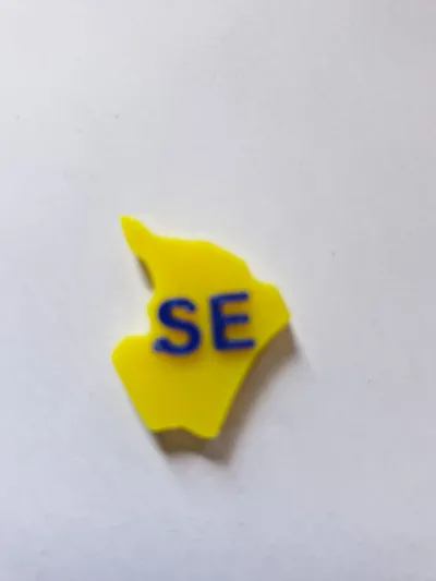
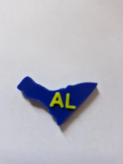
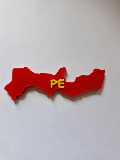
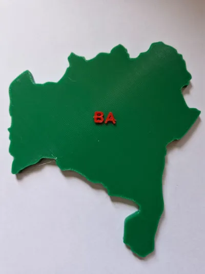
Northeast Brazil Map Puzzle


Print Profile(1)
Description
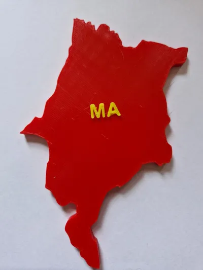
This is a map of the northeastern region of Brazil to be used as a puzzle in geography classes.
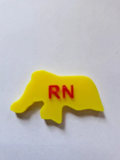
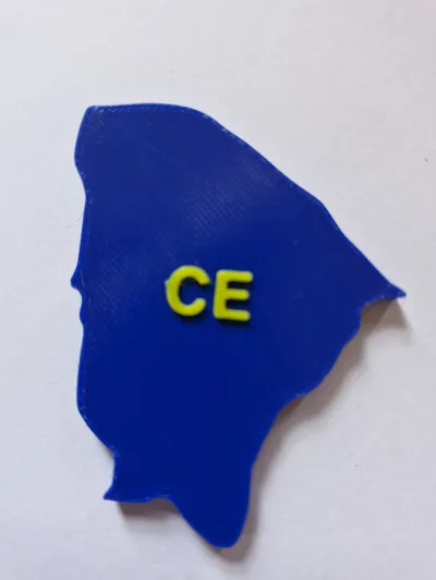
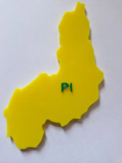
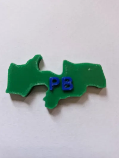
This project was created from an image of the map of Northeast Brazil that was processed in Inkscape software to separate only the states and then worked on in Blender to give it 3D dimension. The acronyms of each state were placed in Bambu Studio itself.
The intention of this work is for it to be used in Geography classes as a puzzle and for other activities such as comparing areas, etc.
Plate 1 has the print without the acronyms of each state. On plate 2, it prints all at once, but it uses more material and more time. Using plates 3 and 4, you will save material and time, making it the best option.
Finally, this work was inspired by the work found at https://www.thingiverse.com/thing:2503628done by 2c2know.
Great print.
License
You shall not share, sub-license, sell, rent, host, transfer, or distribute in any way the digital or 3D printed versions of this object, nor any other derivative work of this object in its digital or physical format (including - but not limited to - remixes of this object, and hosting on other digital platforms). The objects may not be used without permission in any way whatsoever in which you charge money, or collect fees.
Comment & Rating (6)