
Topo map of Mount St. Helens
Print Profile(1)

Description
Description
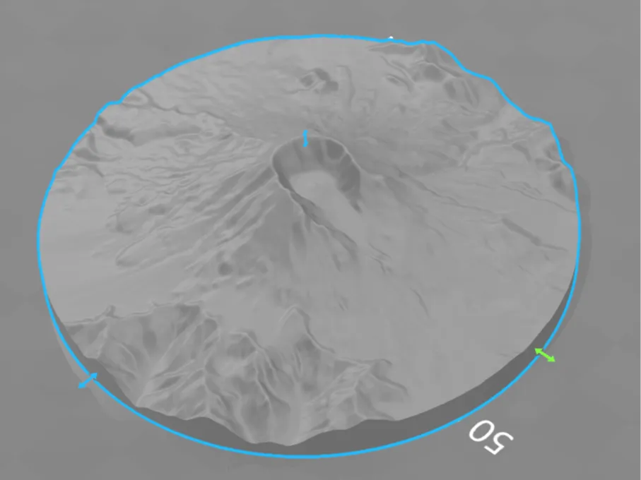
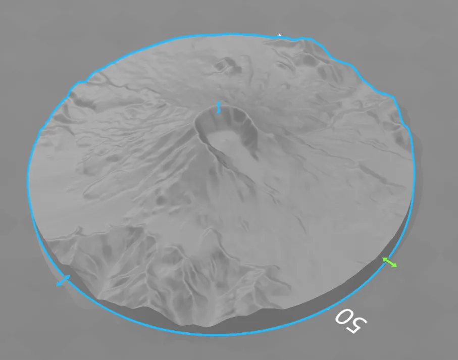
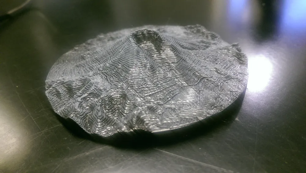
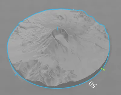
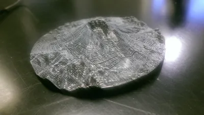
This 3D printable topographic model of Mount St. Helens is based on real-world elevation data, offering an accurate and detailed representation of the famous stratovolcano located in Washington state. Whether you're teaching geography, exploring earth science, or collecting terrain models, this piece makes a striking educational tool or display item.
This model has more than 1 million triangles, so it can be upscaled and keep lots of detail.
Features
- Accurate terrain model from elevation data
- Shows post-eruption crater and surrounding landscape
- Great for classrooms, educational projects, or decor
- Scaled for easy desktop display
Print Settings
- Printer: Most FDM or resin printers
- Supports: Not needed
- Infill: 10–20% (can be solid for heavier feel)
- Layer height: 0.1–0.2 mm recommended
- Material: PLA or your choice
- Scale: Printable as-is, but can be resized to fit your needs
License

You shall not share, sub-license, sell, rent, host, transfer, or distribute in any way the digital or 3D printed versions of this object, nor any other derivative work of this object in its digital or physical format (including - but not limited to - remixes of this object, and hosting on other digital platforms). The objects may not be used without permission in any way whatsoever in which you charge money, or collect fees.


Comment & Rating (4)