
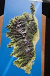
GR20 Corsica Trail Map with GPX Track
Print Profile(3)



Description
Hello,
I create 3D color map models of mountains with GPX tracks to immortalize your hikes, bike rides, road trips, etc.
I also create city models with 3D buildings (for French territory only).
----
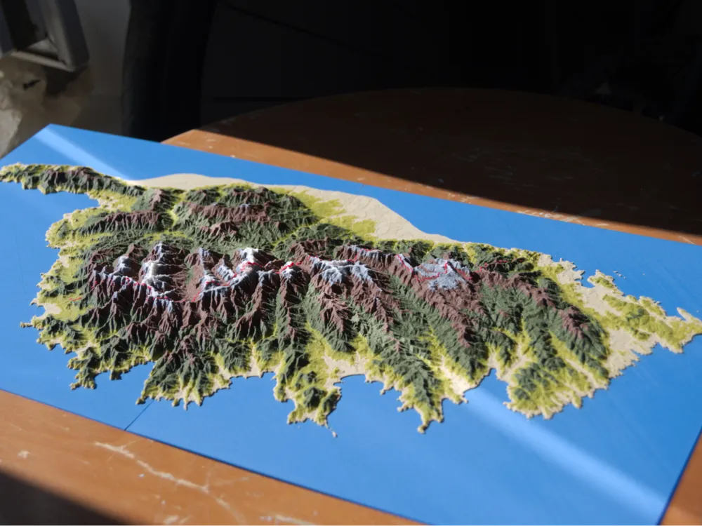
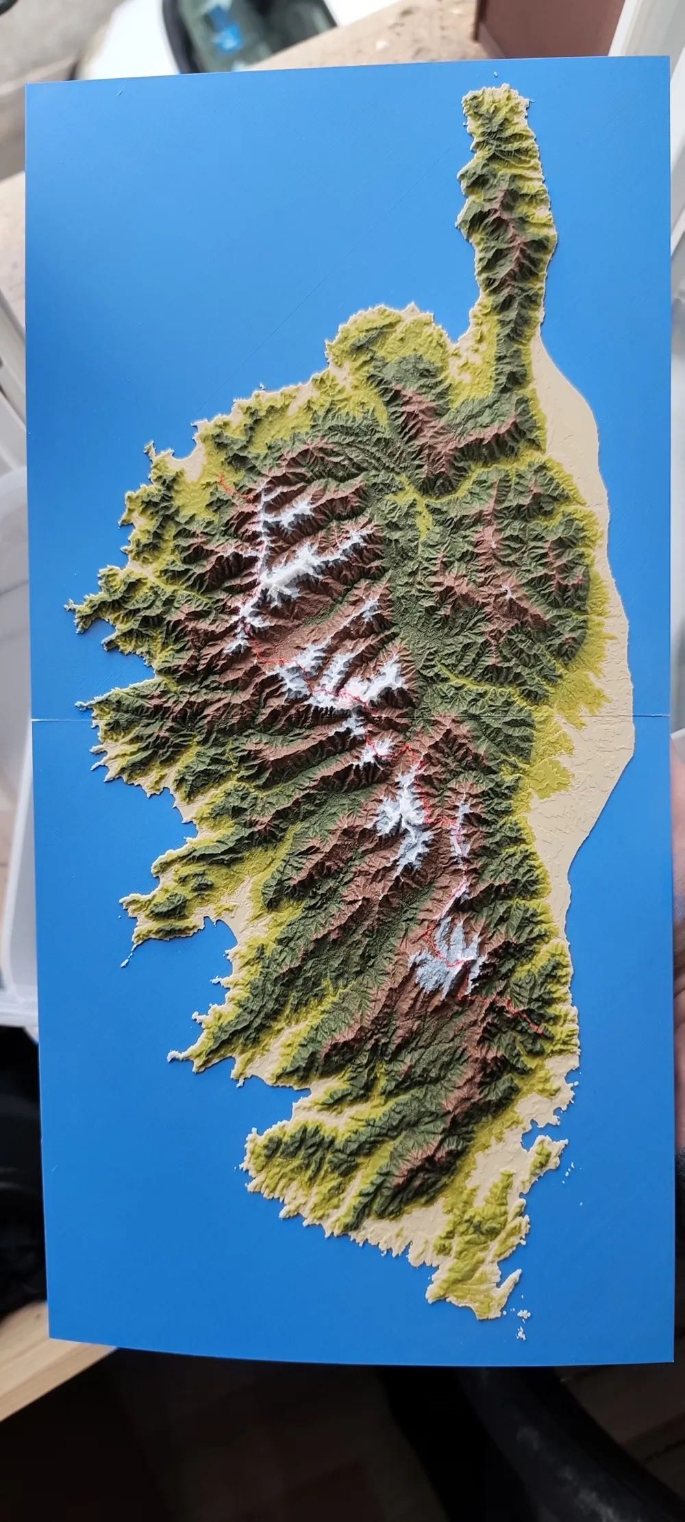
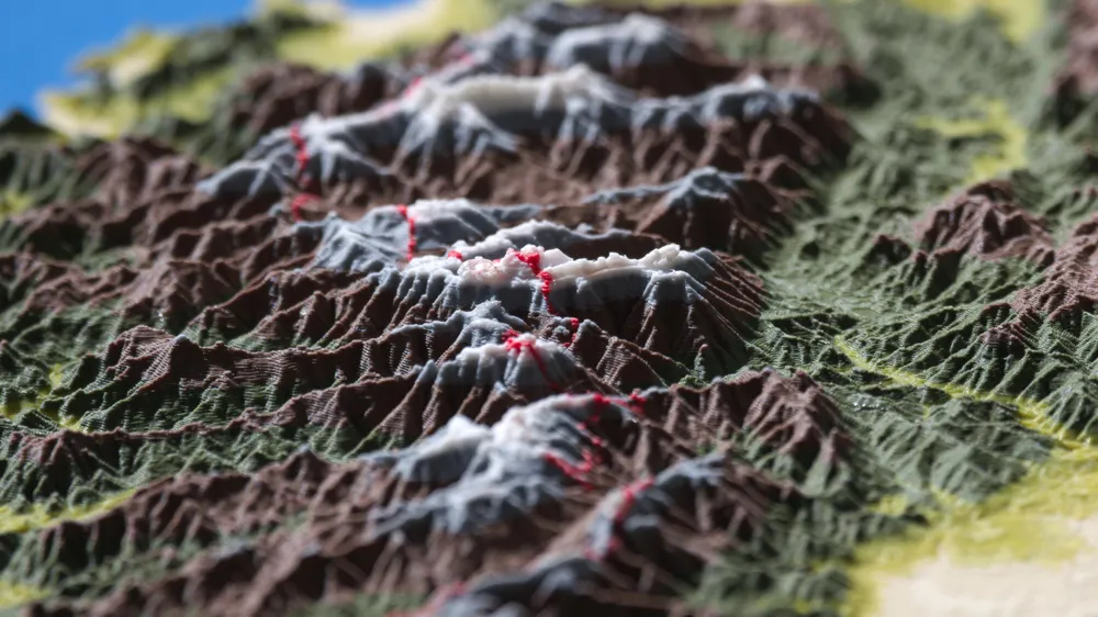
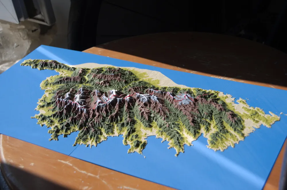
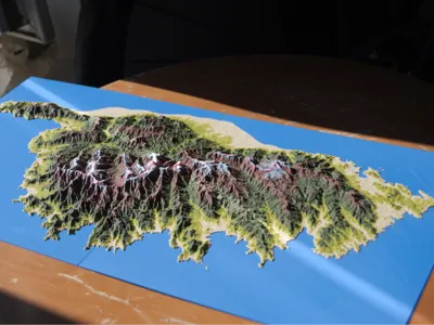
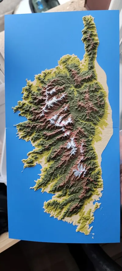
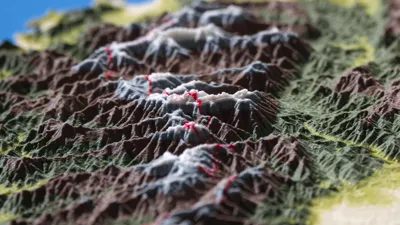
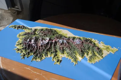
A colorful 3D map of the renowned GR20 trail traversing Corsica from North to South, incorporating the GPX file path
I recommend printing with a 0.2mm nozzle for enhanced detail
Boost Me (for free)
Give me a boost to support my work !
I am currently working on a website to allow everyone to create personalized maps.
If you wish to create your own 3D map of your adventure with a personalized GPX track, contact me (paulbouchillou.pro@gmail.com).
I can also create a unique 3D model of your city (French territory only) with buildings, hydrography, roads, vegetation, and more.
License

You shall not share, sub-license, sell, rent, host, transfer, or distribute in any way the digital or 3D printed versions of this object, nor any other derivative work of this object in its digital or physical format (including - but not limited to - remixes of this object, and hosting on other digital platforms). The objects may not be used without permission in any way whatsoever in which you charge money, or collect fees.


Comment & Rating (22)