
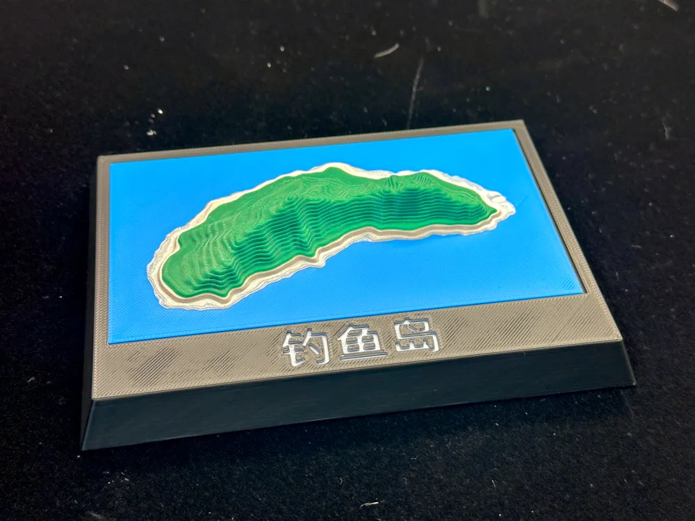
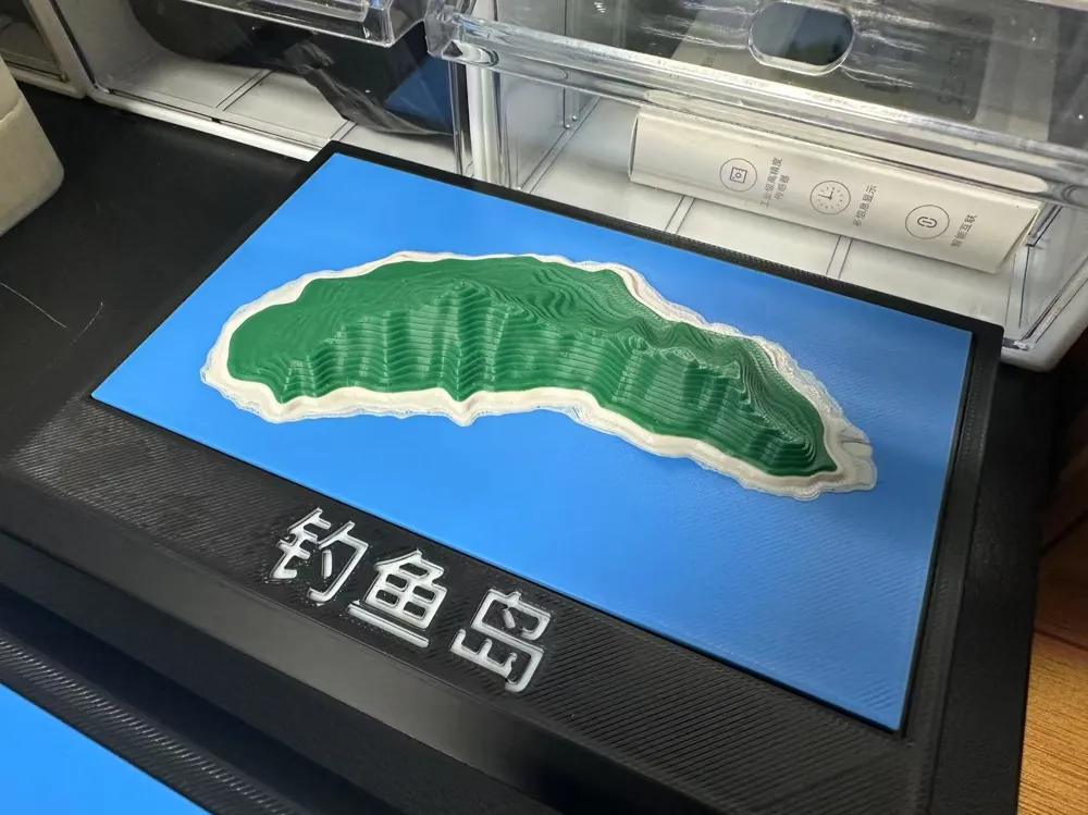
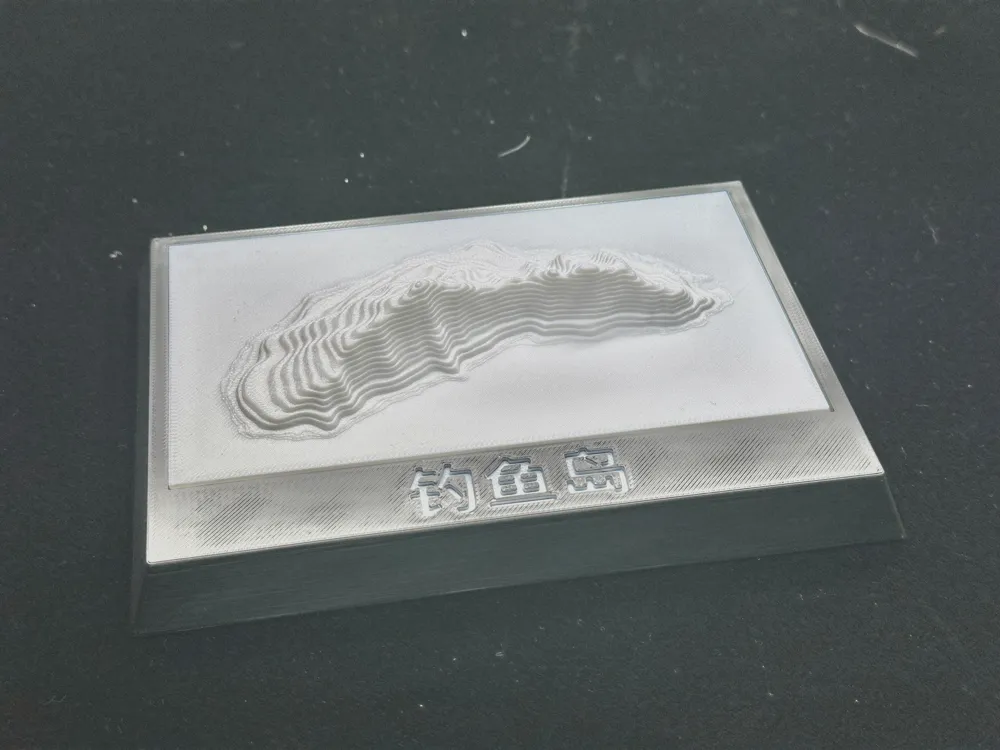
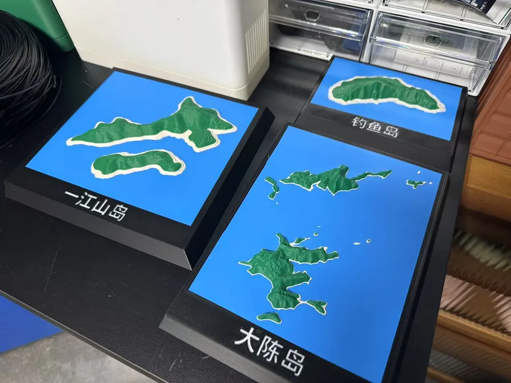
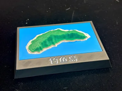
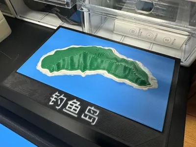
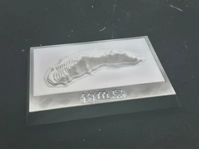
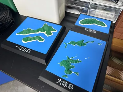
Diaoyu Islands Contour Map
Print Profile(2)


Description
Diaoyu Island, also known as Senkaku Islands, is the main island of the Diaoyu Islands and its affiliated islands in the East China Sea. It is an inherent territory of China since ancient times. Located at 25°44.6′N, 123°28.4′E, it is approximately 358 kilometers from Wenzhou, Zhejiang Province, 385 kilometers from Fuzhou, Fujian Province, and 190 kilometers from Keelung, Taiwan. The surrounding waters cover an area of approximately 174,000 square kilometers. [1-2]
Diaoyu Island is approximately 3641 meters long, 1905 meters wide, and covers an area of approximately 3.91 square kilometers. Its highest elevation is approximately 362 meters. The terrain is relatively flat in the north, while the southeastern slopes are steep, with rock formations resembling spires on the eastern side. A central mountain range runs east-west. Diaoyu Island is rich in valuable medicinal herbs such as camellia, palm trees, cacti, and sea pinks, and is home to numerous seabirds, earning it the name "Flower and Bird Island." [1-2]
When the United States withdrew from the Ryukyu Islands in 1972, it transferred the "administrative jurisdiction" of Diaoyu Island, along with the Ryukyus, to Japan. However, according to ancient Chinese historical records, China has always possessed sovereignty over Diaoyu Island. Since September 10, 2012, Chinese government departments have conducted routine monitoring and surveillance of Diaoyu Island and its affiliated islands.
China's Maritime Surveillance vessels consistently patrol and enforce laws in the Diaoyu Island waters. Fisheries law enforcement ships conduct regular patrols and protection of fishing activities to maintain the normal order of fisheries production in the area. China also manages the Diaoyu Islands and the surrounding waters through the release of weather and marine observation forecasts.
On April 26, 2021, the Ministry of Natural Resources of the People's Republic of China published the "Diaoyu Islands and its affiliated islands topographic and geomorphic survey report" on its official website. The report released high-resolution island topographic data of Diaoyu Island and its affiliated islands.
License

You shall not share, sub-license, sell, rent, host, transfer, or distribute in any way the digital or 3D printed versions of this object, nor any other derivative work of this object in its digital or physical format (including - but not limited to - remixes of this object, and hosting on other digital platforms). The objects may not be used without permission in any way whatsoever in which you charge money, or collect fees.


Comment & Rating (0)