


Print Profile(1)


Description
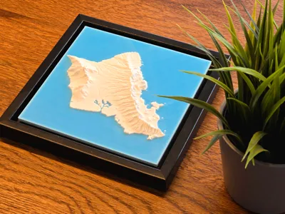
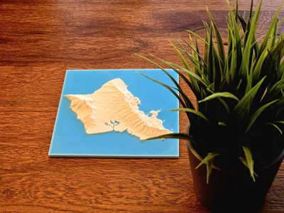
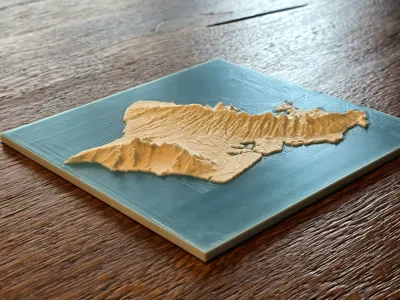
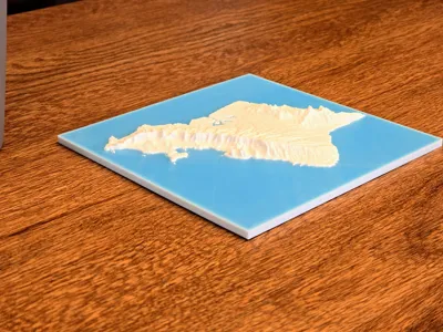
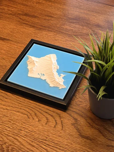
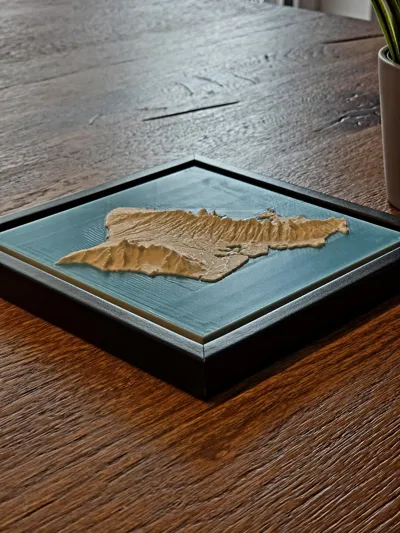
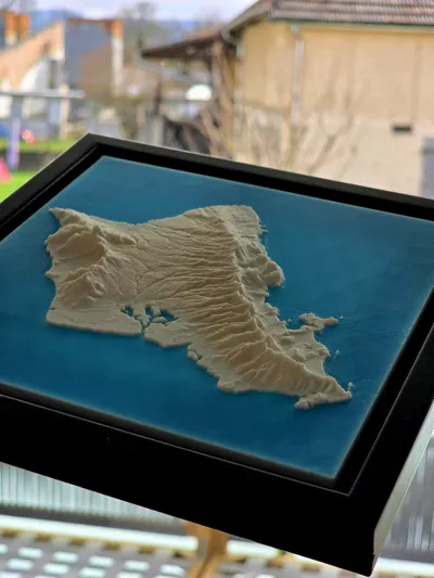
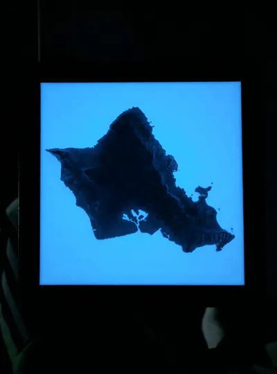
3D Topographic Map of Oʻahu with Real Elevation Data
This is a detailed 3D map of the island of Oʻahu, created using accurate height data.
You can print it in two colors—like I did—using glow-in-the-dark filament for a stunning effect, or go for a single-color version for a clean, minimalist look.
For the best results, I recommend using matte white filament.
Size of the Map: 150x150mm (5,9x5,9inch).
If you want a compatible frame, you can print my simple Shadow-Gap Frame
It´s perfect for a 150x150mm (5,9x5,9inch) 3D map.
Boost Me (for free)
Boost me, if you like my work :) It´s free
License
You shall not share, sub-license, sell, rent, host, transfer, or distribute in any way the digital or 3D printed versions of this object, nor any other derivative work of this object in its digital or physical format (including - but not limited to - remixes of this object, and hosting on other digital platforms). The objects may not be used without permission in any way whatsoever in which you charge money, or collect fees.
Comment & Rating (2)