Topography Map of Spain - Iberian Peninsula


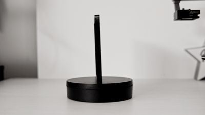


Print Profile(1)

Description
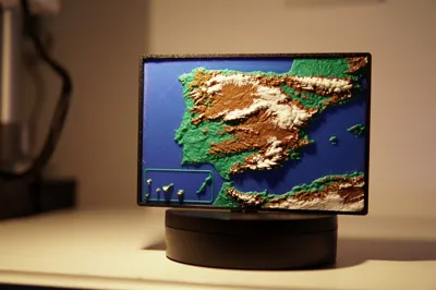
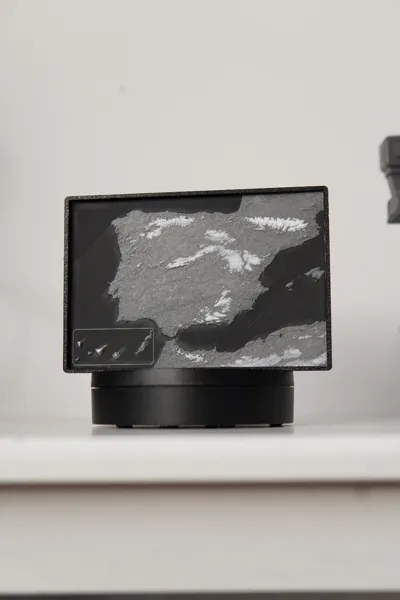
Map of Spain

Modeled from satellite data, its a relatively accurate topography map of the Iberian peninsula. It takes about 3 hours to print, there are two versions: The Black-Grey-White and Multicolor version. You can make your own version in Spains colors of Black - Yellow - Red!

The Black-Grey-White model shown is printed with a total height of 3 mm, I increased it a little so the mountains and elevation data pops a bit better and casts better shadows.
Boost Me (for free)
Thanks!
Other models you may want to check out :)

License
You shall not share, sub-license, sell, rent, host, transfer, or distribute in any way the digital or 3D printed versions of this object, nor any other derivative work of this object in its digital or physical format (including - but not limited to - remixes of this object, and hosting on other digital platforms). The objects may not be used without permission in any way whatsoever in which you charge money, or collect fees.
Comment & Rating (7)