

Print Profile(1)

Description
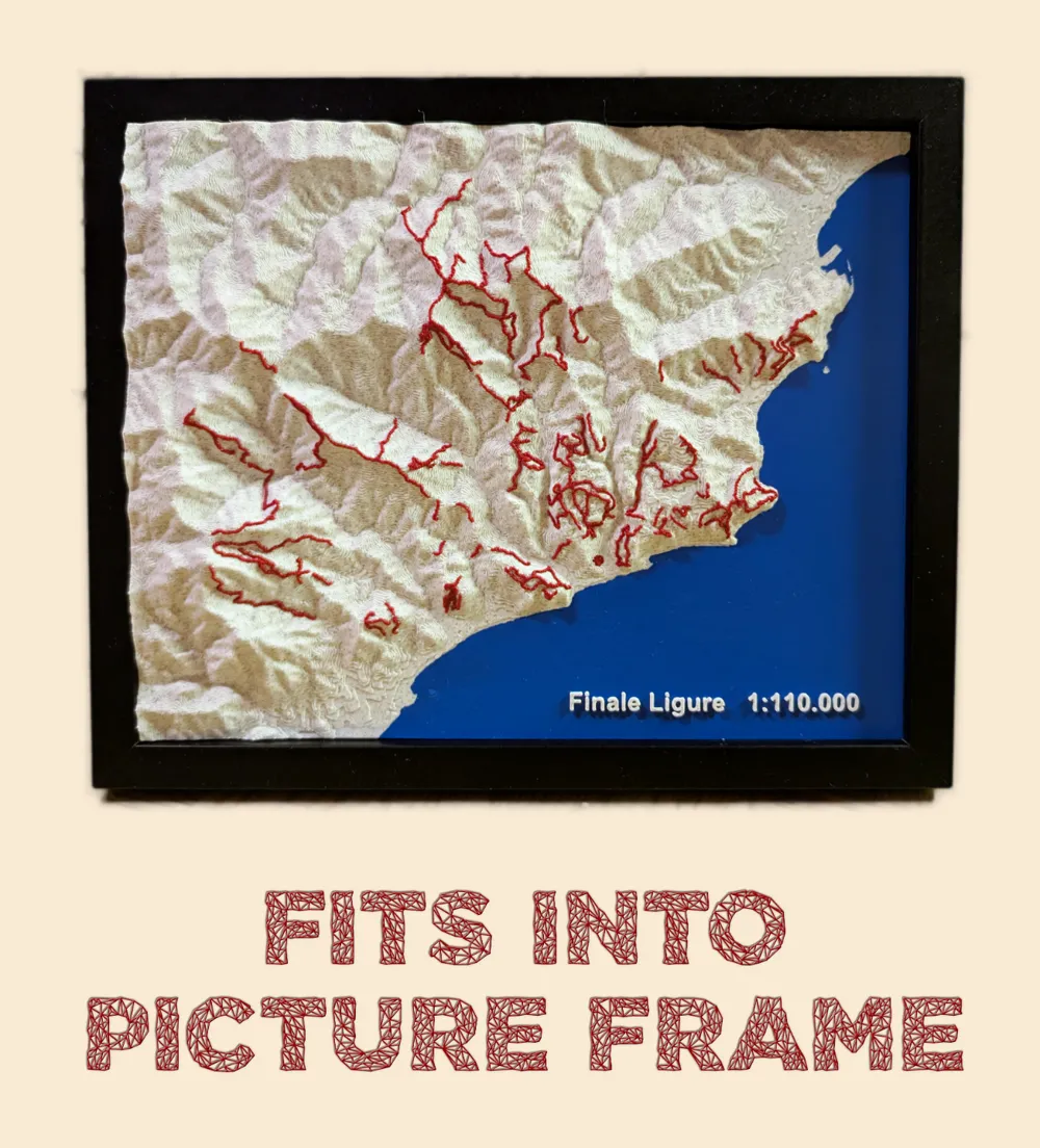
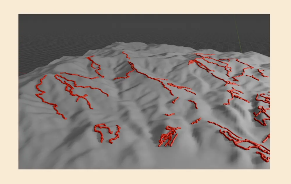
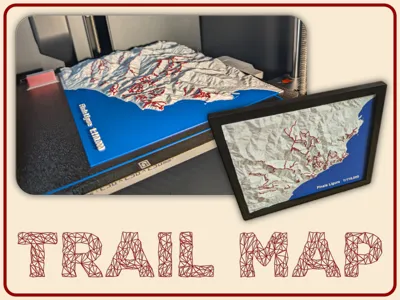
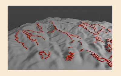
Topographical height map showing the (MTB) trails in the famous Finale Ligure MTB Region in Italy.
The terrain is accurately generated from official height-data and all major mountain bike trails are marked in red.
Perfect as a wall display, desk decor, or gift for MTB enthusiasts and outdoor adventurers!
It fits nicely into this picture frame. If you use another frame, just scale or crop the model.
Boost Me (for free)
This was a lot of work so I would be happy for a boost if you like it :)
License

You shall not share, sub-license, sell, rent, host, transfer, or distribute in any way the digital or 3D printed versions of this object, nor any other derivative work of this object in its digital or physical format (including - but not limited to - remixes of this object, and hosting on other digital platforms). The objects may not be used without permission in any way whatsoever in which you charge money, or collect fees.


Comment & Rating (3)