
Print Profile(2)


Bill of Materials


- Tesa double sided tape x 1: https://a.co/d/9ZfcNmD
- Bambu diamond 3d effect plate x 1: https://eu.store.bambulab.com/products/bambu-3d-effect-plate
Description
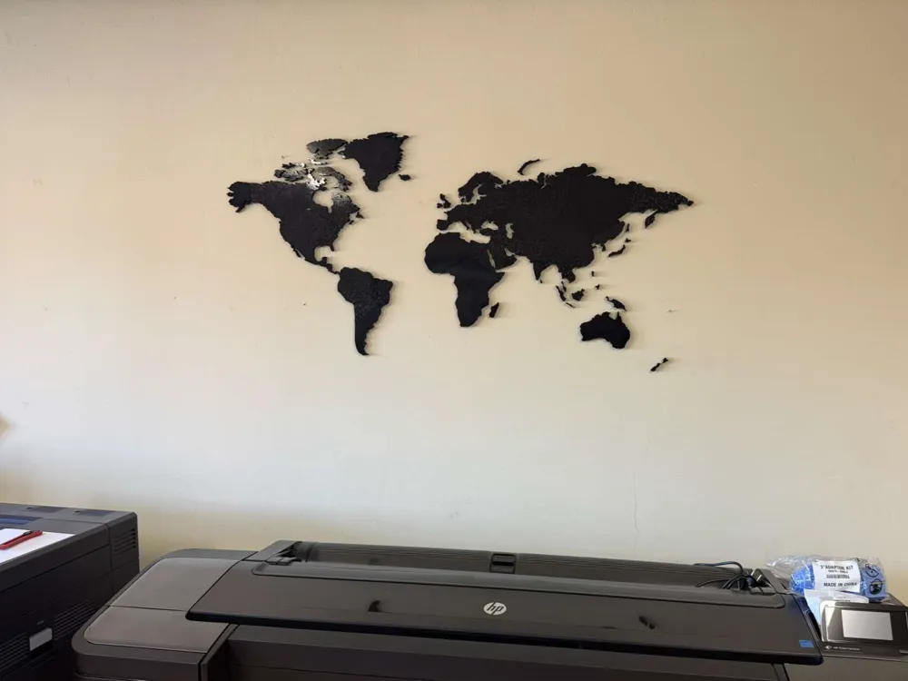
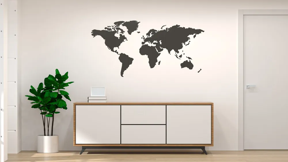
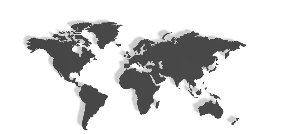
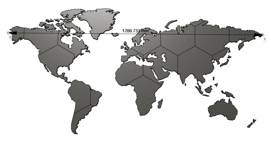
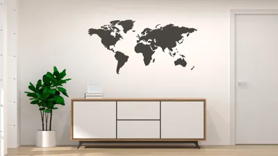
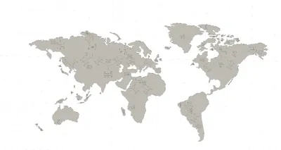
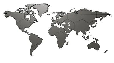
I would like to present my first larger project of a world map for a wall cut into hexagons, it is attached with strong double-sided tape, the map can also be mounted on nails (leaning on them) but I think tesa or 3m tape is better.
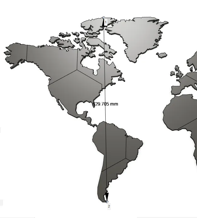
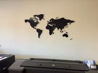
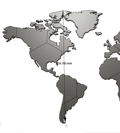
The model has been hanging on my wall for a year, I glued it with tesa tape and it is hard to peel it off, the model is 12mm thick, the width of the entire project is 128cm and the height is 62cm.
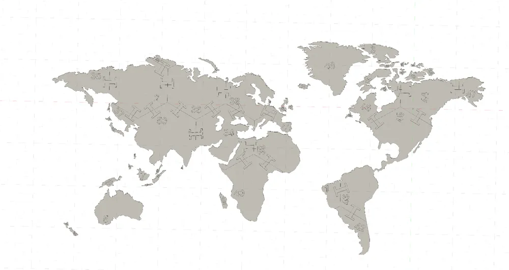
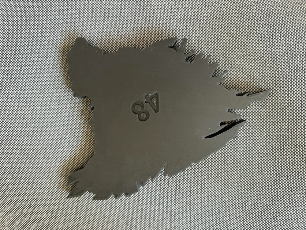
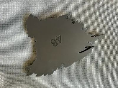
The map is additionally connected with connectors that should be glued together with cyanoacrylate glue, each element is numbered, which makes it easier to assemble, if you have a problem with assembly, check the PDF in the Assembly Guide.
Map was printed on Bambu diamond 3d effect plate textured board for a better look 🗺️
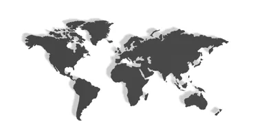
The map shows an equiangular cylindrical projection (Mercator projection) 🌍
Features of the Mercator projection:
- Popular in navigation maps and Google Maps.
- The shapes of the continents are preserved, but their sizes are distorted.
- The closer to the poles, the greater the distortion - for example, Greenland appears larger than Africa, although in reality it is 14 times smaller!
This projection is useful for sailors and aviators, because the straight lines on the map correspond to the actual compass headings, but it does not reflect the actual proportions of the continents' surfaces.
In comparison, the Gall-Peters projection corrects this problem and shows the continents in their true sizes - making Africa much larger and Europe smaller.
----------------
UPDATE 10.12.2025r. :
In this update, I've added the missing smaller islands to the model, which weren't previously included. These have been prepared as separate files and marked as optional small islands/continents, allowing everyone to customize the design to their needs.
What's new: New small islands, fully scaled to the main map Separate STL files for easy printing and placement Improved map accuracy Files can be freely scaled and placed on the wall
Who is this update for: For those who want a more detailed and complete version of the map, with a full set of islands and geographic features.
Tip: The islands are small, so it's best to print them at higher quality or with a finer nozzle - they will then look much better on the finished wall map. If you have any problems with the layout, download the high-resolution jpg file from the assembly guide.
----------------
Commercial use is available exclusively through my Patreon subscription.
Become a member to gain a commercial license and access to all my models.
👉 Join here: https://www.patreon.com/cw/jacekpom
Boost Me (for free)
I spent the whole day on the map, I hope it will be useful to someone and give me a boost :) for motivation and I will definitely add something else
Documentation (2)

License

You shall not share, sub-license, sell, rent, host, transfer, or distribute in any way the digital or 3D printed versions of this object, nor any other derivative work of this object in its digital or physical format (including - but not limited to - remixes of this object, and hosting on other digital platforms). The objects may not be used without permission in any way whatsoever in which you charge money, or collect fees.


Comment & Rating (112)