
University of Chicago - Chicago
Print Profile(1)

Description
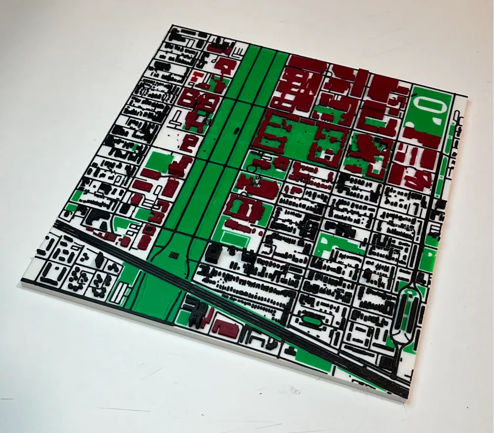
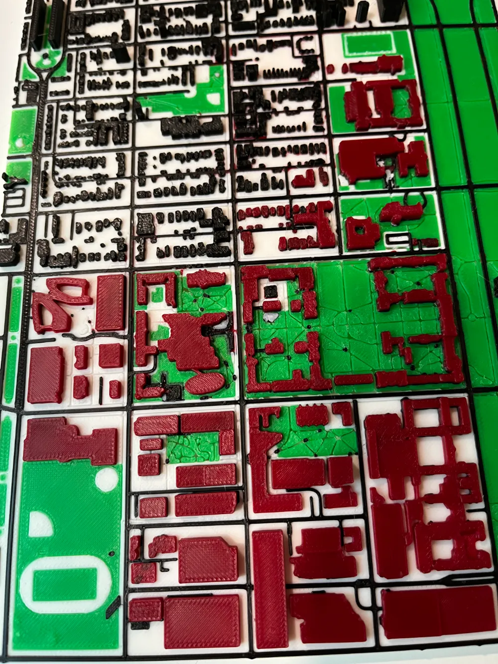
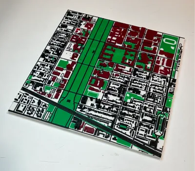
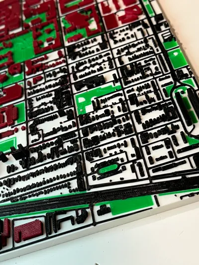
A 3D map of the Chicago school the University of Chicago. The map contains Google Maps data from South Cottage Grove Avenue (West) to the South Stony Island Avenue (East), and from East 55th Street (North) to East 61st Street (South). The map displays a 1.7km x 1.3km area.
- Terrain/surface highlighted in white material
- Bodies of water is highlighted in light blue material (black in photographed print)
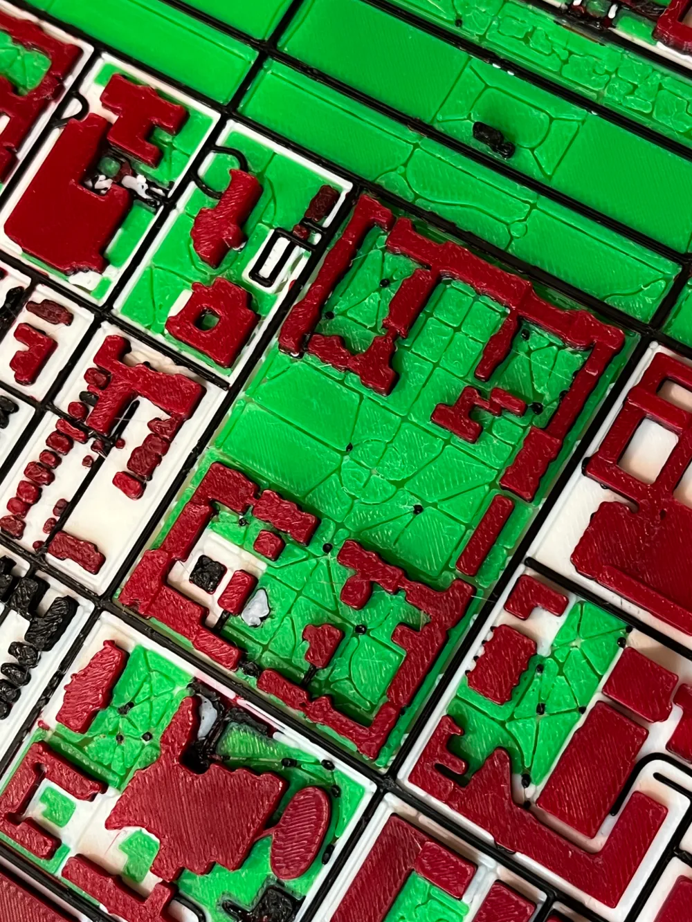
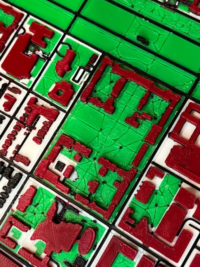
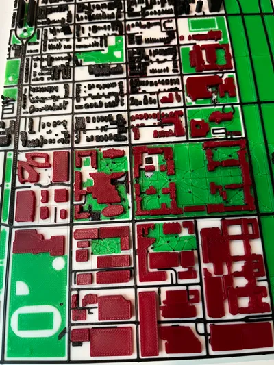
- Parks, greenery, and athletic complexes found in Maps data highlighted in green material
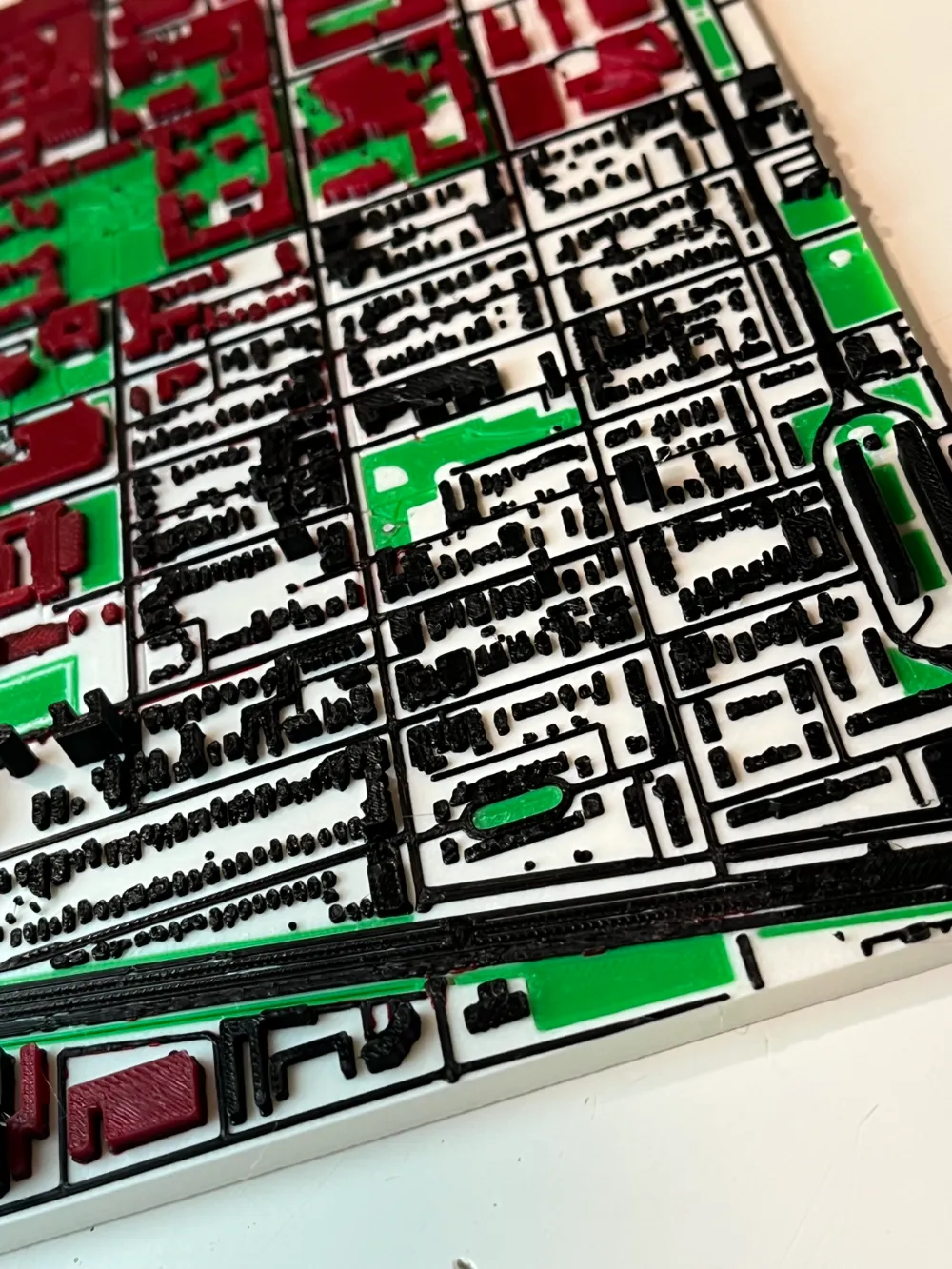
- Buildings, streets, walkways, and service roads are highlighted in black material
- University buildings are highlighted in dark red material
Photographed print created using X1C with accompanying AMS. It has standard Grid infill, 15%. The print is 9.31" x 8.49".
The initial layer as well as all other layers are 0.2mm thick. This can be adjusted, however I have yet to test other layer heights.
Model largely created in Blender via Blosm.
License

You shall not share, sub-license, sell, rent, host, transfer, or distribute in any way the digital or 3D printed versions of this object, nor any other derivative work of this object in its digital or physical format (including - but not limited to - remixes of this object, and hosting on other digital platforms). The objects may not be used without permission in any way whatsoever in which you charge money, or collect fees.


Comment & Rating (1)