


Print Profile(2)


Description
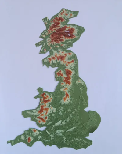
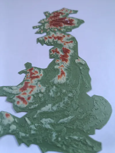
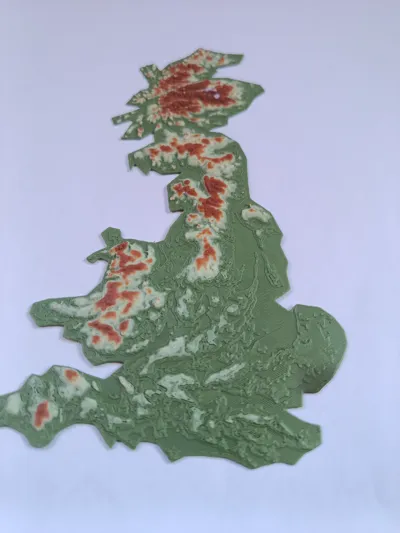
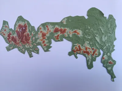
Colored terrain map of the UK, with or without ams.
Based on sattelite information. A few of the islands are missing, sadly, a limitation of money.
I could never figure out what the maps were indicating when i was little. So i made one that i would have been delighted with as a kid.
As you print, if you don't have an automatic color changing system, I have implemented a few stops, based on height where you can change the color. It always goes Green, Yellow, Brown, White. This is the method these photos were achieved with.
Made with TouchTerrain (Welcome to TouchTerrain, the free web app for creating 3D printable terrain models! (iastate.edu))
Special Thanks to Neil and his video tutorial: Make 3D Printed Terrain Maps of Any Location for FREE! (youtube.com).
Happy Printing!
Comment & Rating (6)